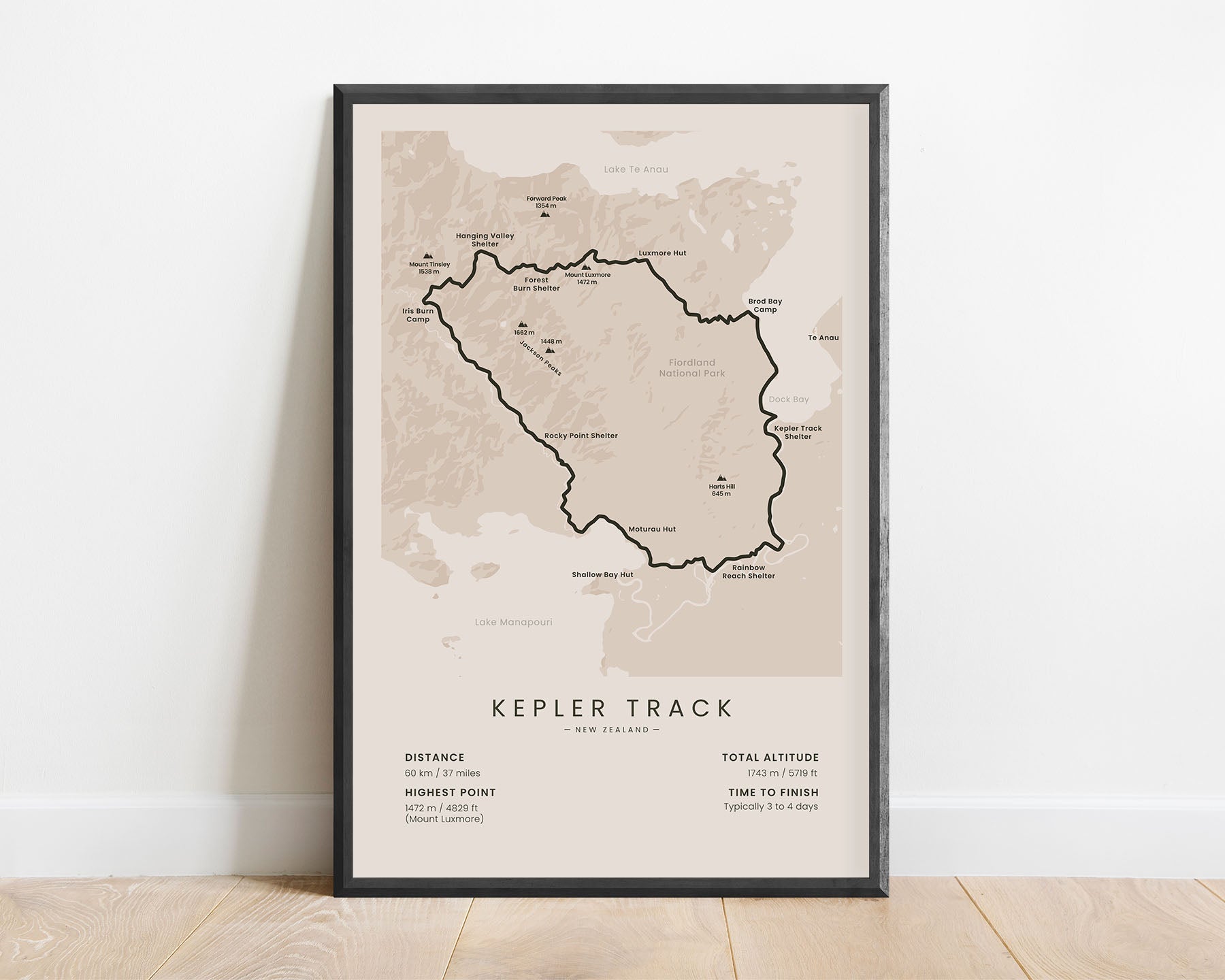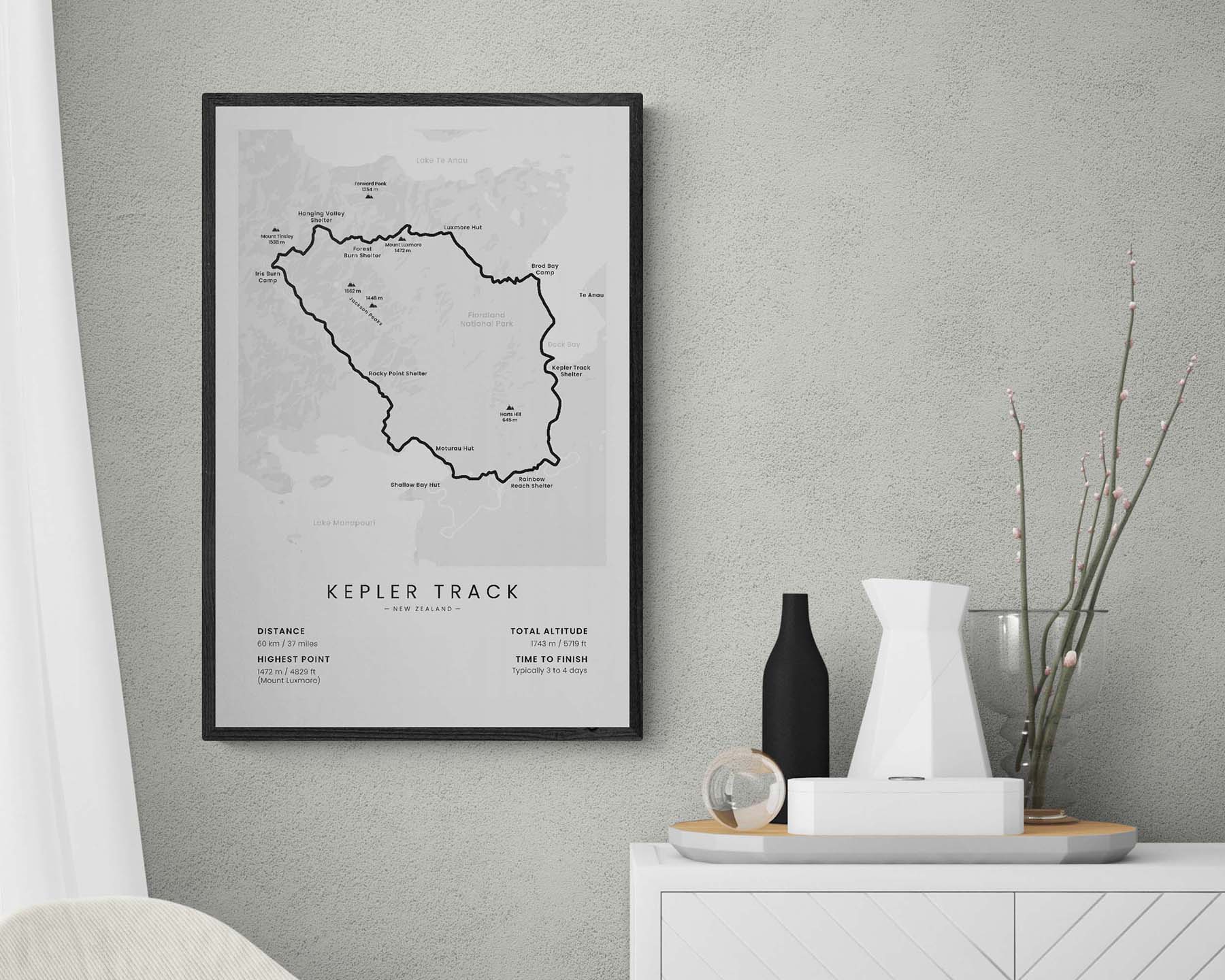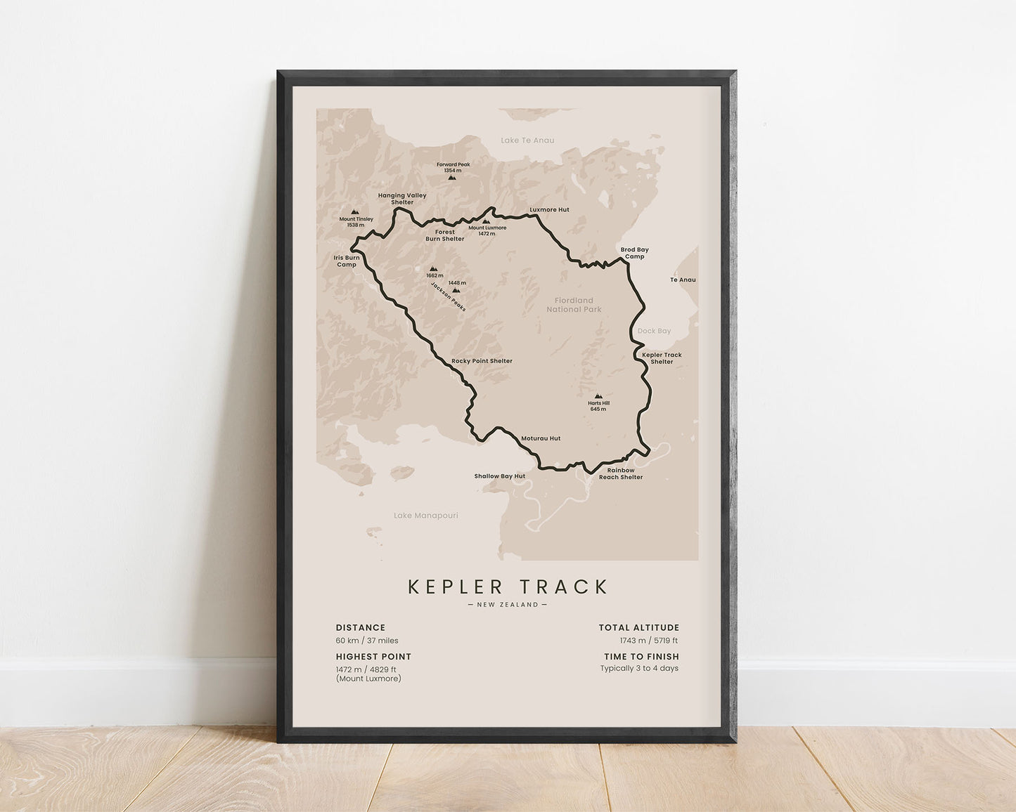
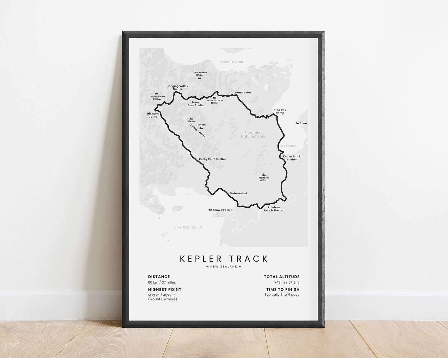
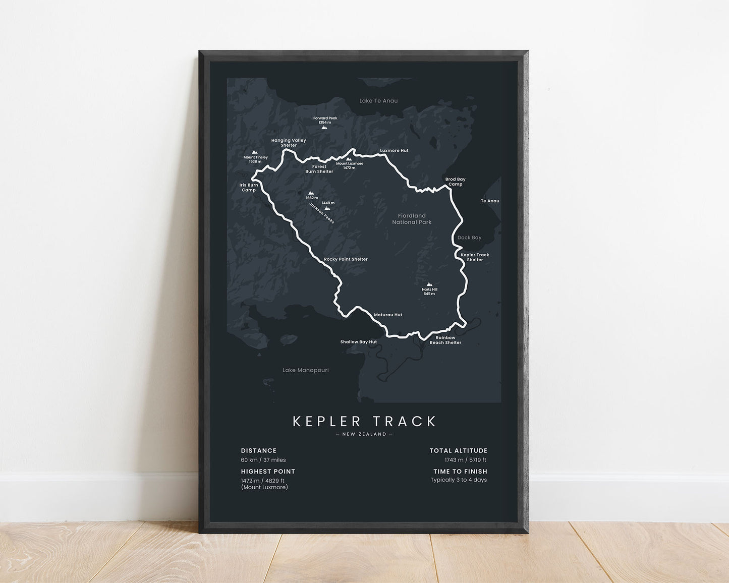
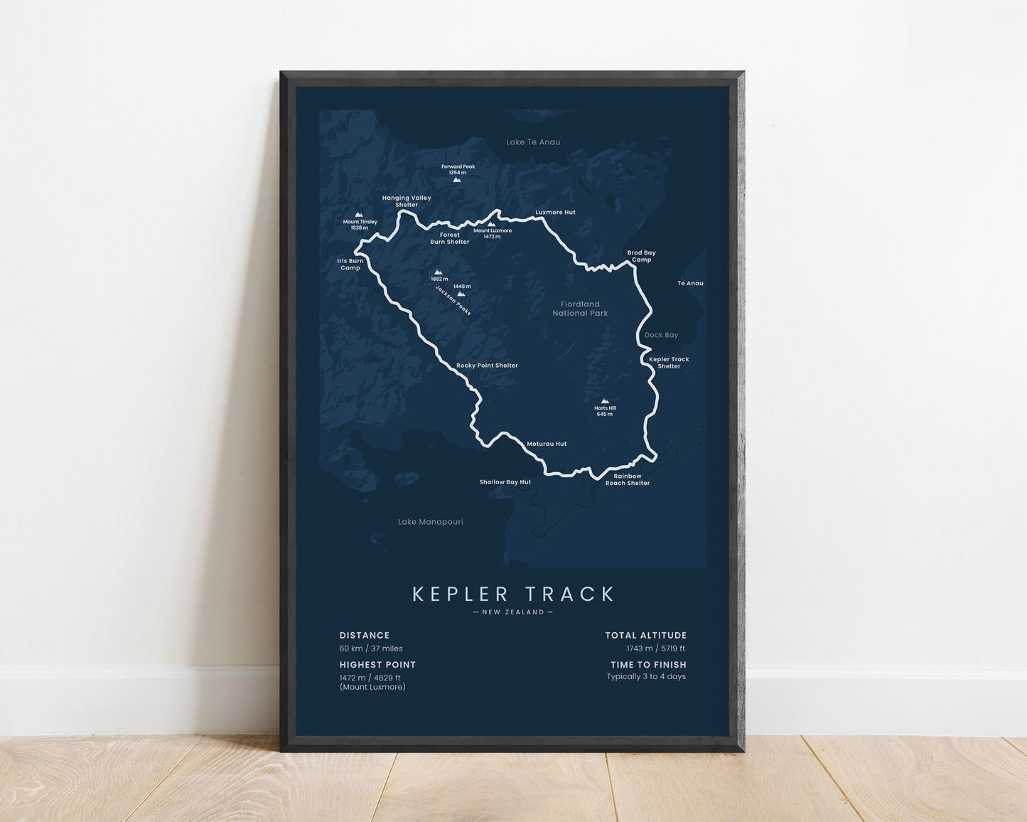
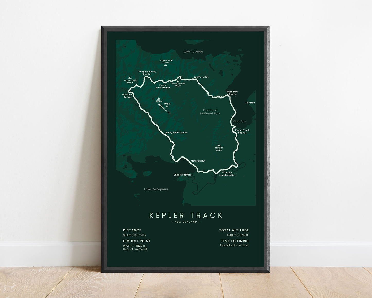
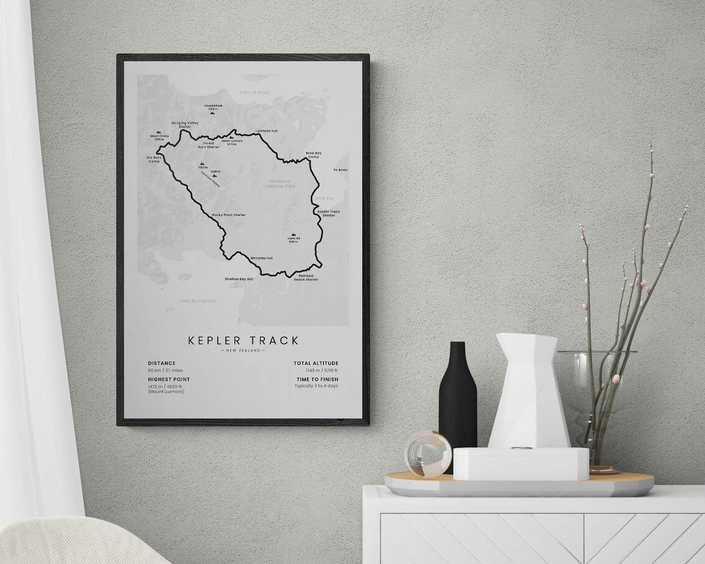


This poster shows the map of the Kepler Track in New Zealand. It features the full route of the trail, the highest peaks along the way (Jackson Peaks, Mount Tinsley, Mount Luxmore), the main lakes in the area (Lake Manapouri, Lake Te Anau), and a rough topographical map of the area. It also shows the main statistics about the trail, like the total distance, altitude, and more.
About the Kepler Track
The Kepler Track is a several-day hike through the Fiordland National Park, South Island, New Zealand. It offers some spectacular views over Lake Anau and Lake Manapouri, goes up steep cliffs and ridges, and through alpine meadows, green forests, and beautiful gorges. It's considered to be one of the most beautiful treks in the world for these reasons. The trail starts at the Kepler Track Shelter and loops 60 km through the Fiordland National Park, walking between both lakes and summiting Mount Luxmore. Although physically challenging, it's considered a somewhat easy and safe hiking trail. Other popular trails in New Zealand include the Milford Track, the Tongariro Alpine Crossing, the Routeburn Track, and the Te Araroa.
Statistics About the Kepler Track
- Start & end point: Kepler Track Shelter, South Island, New Zealand
- Total distance: 60 km / 37 miles
- Total altitude gain/loss: 1743 m / 5719 ft
- Highest point: 1472 m / 4829 ft (Mount Luxmore)
- Points of interest: Fiordland National Park, Lake Te Anau, Lake Manapouri
- Time to finish: Typically 3 to 4 days

