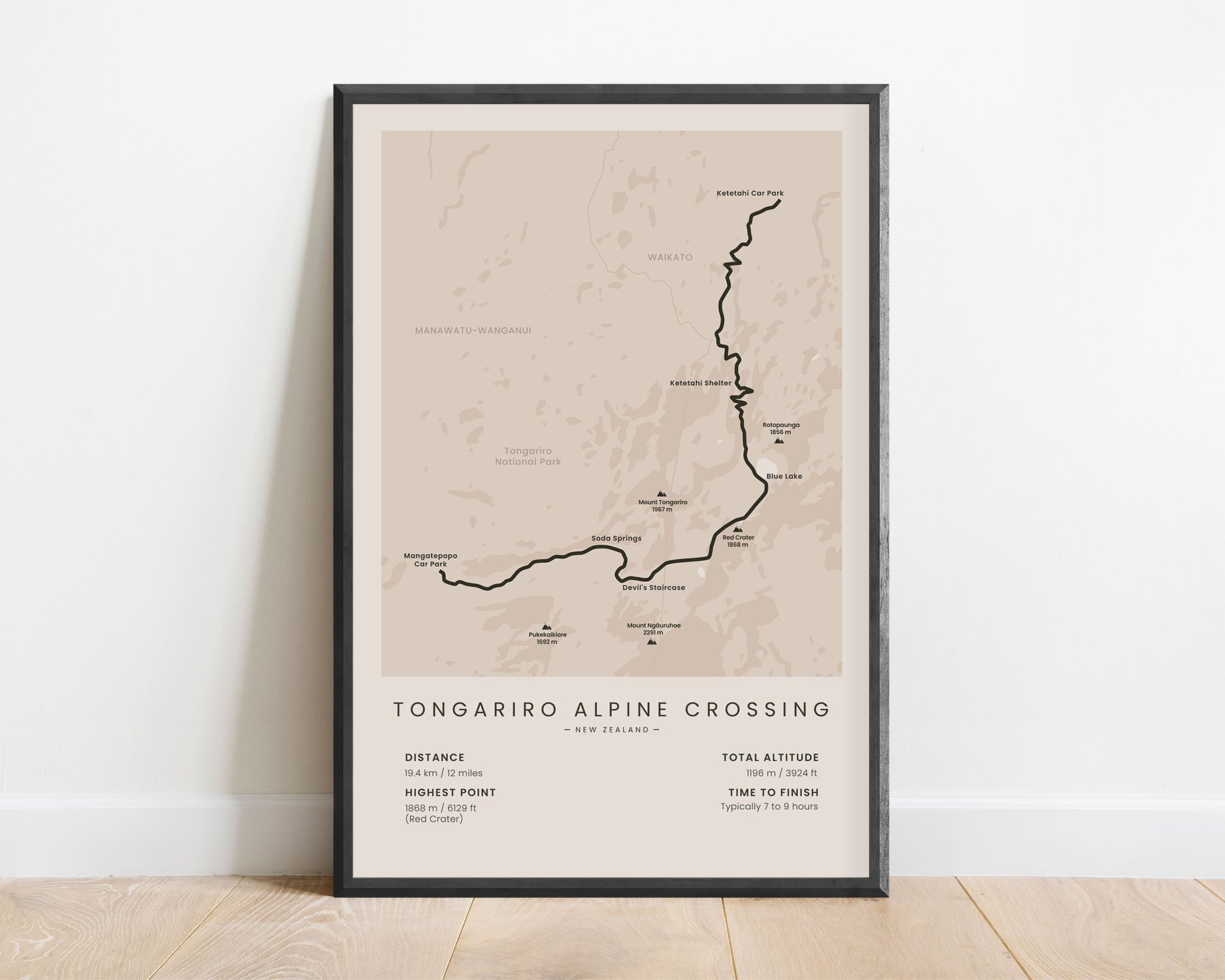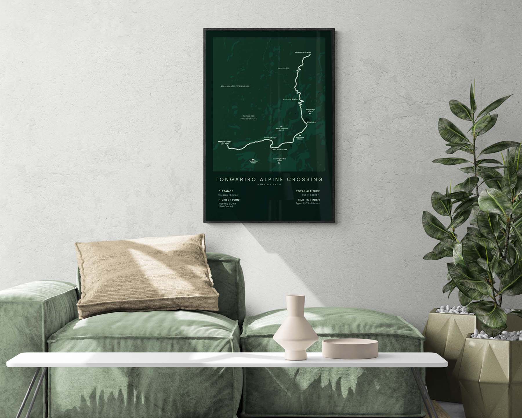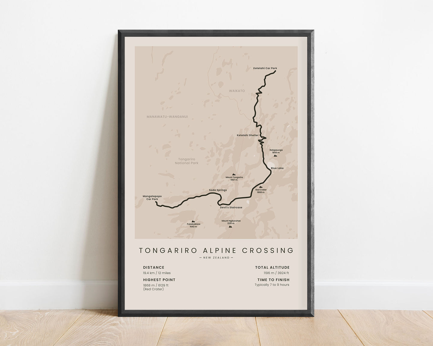
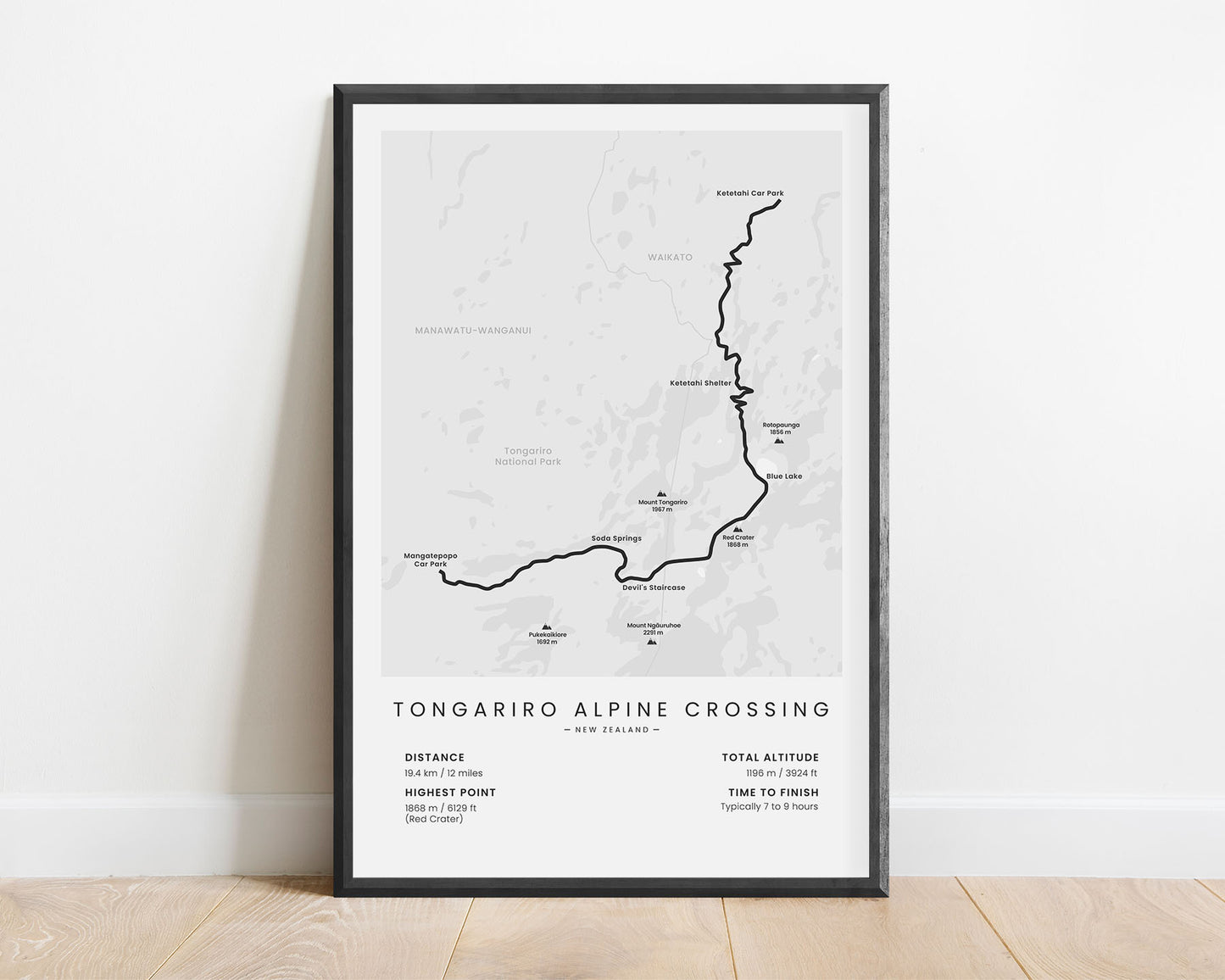
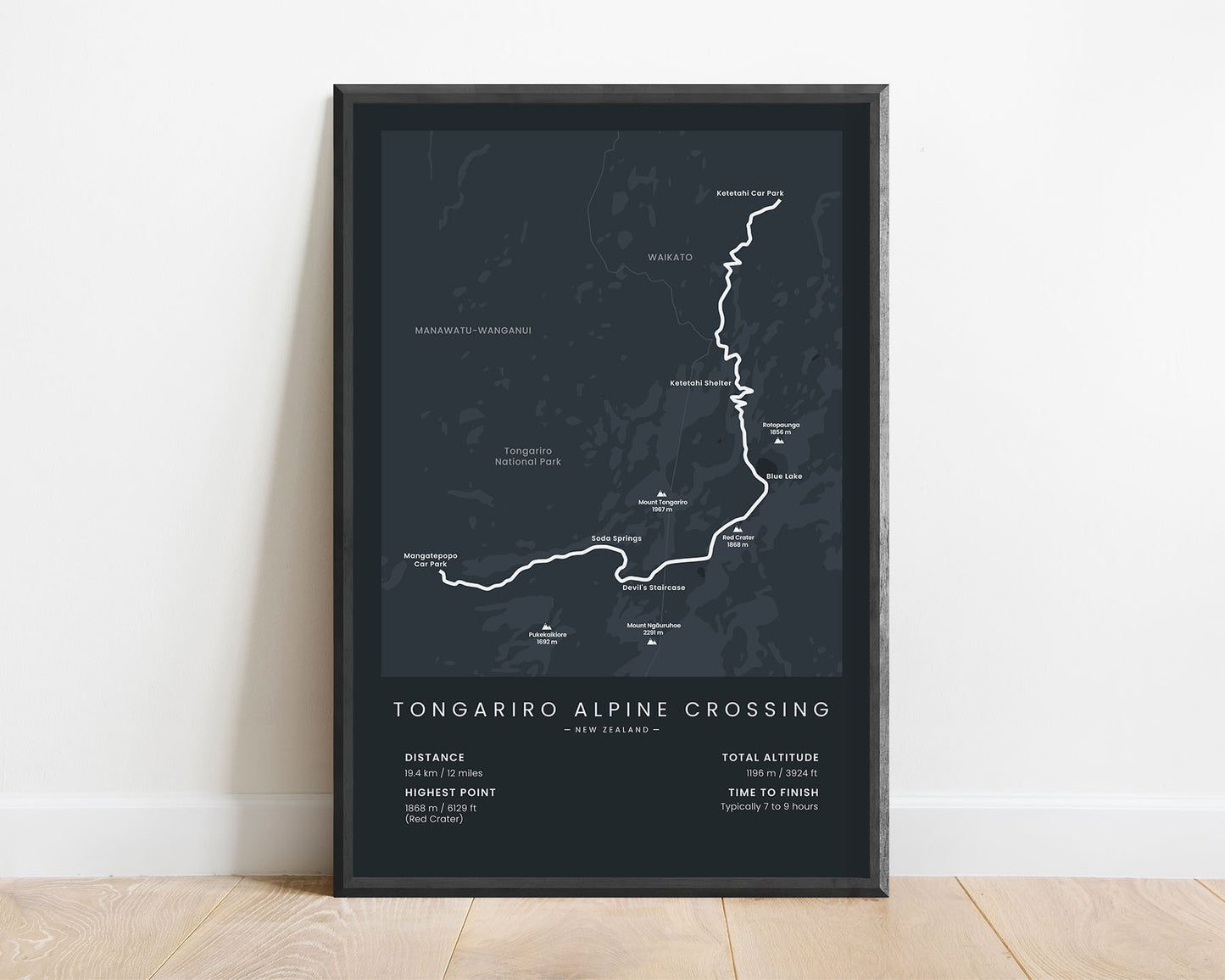
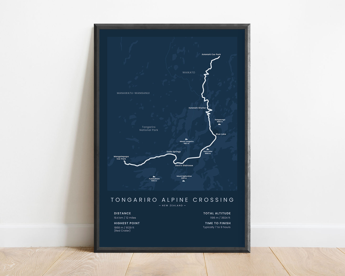
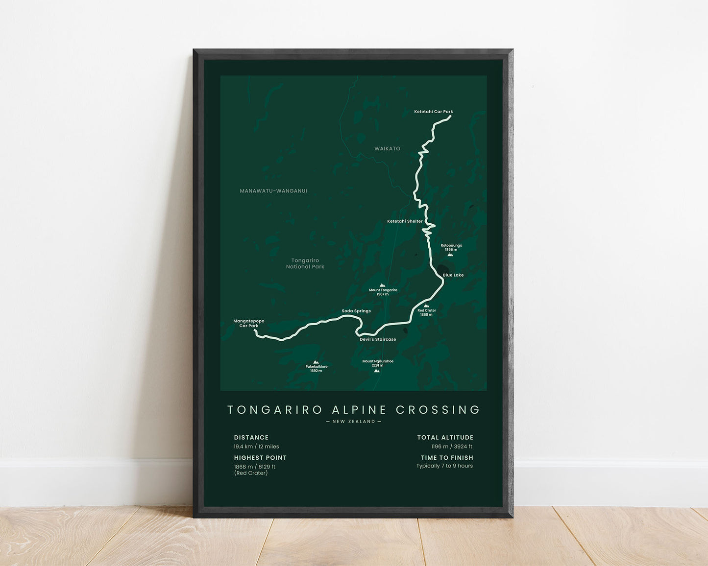

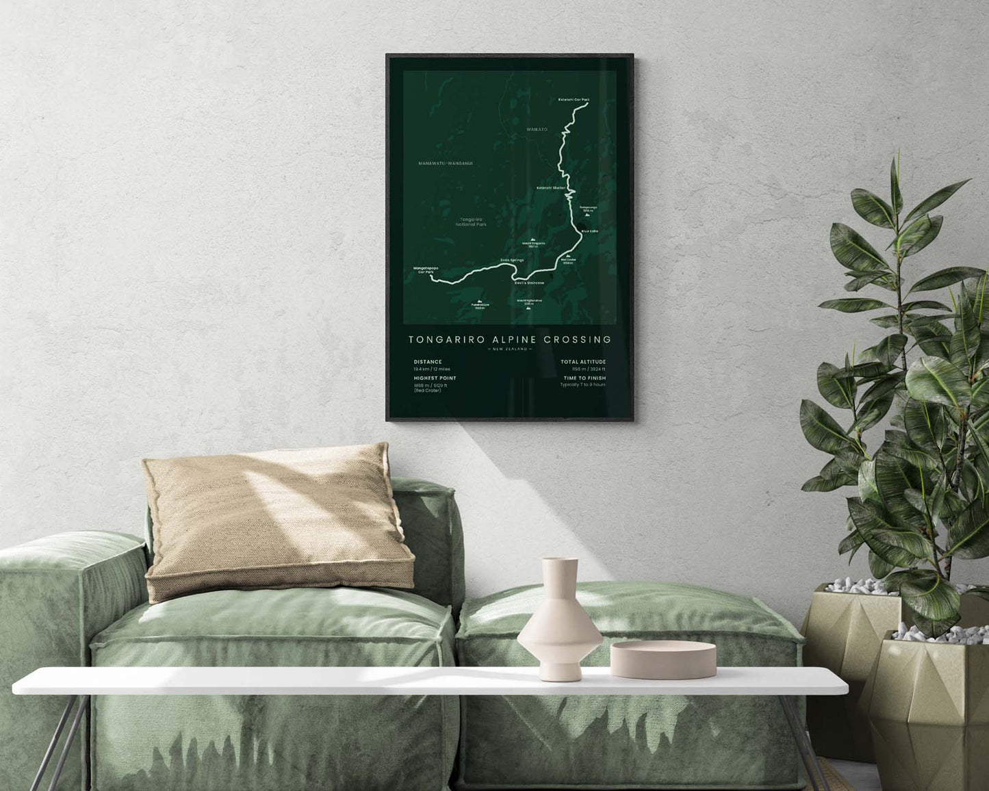

A minimalist print that displays the map of the Tongariro Alpine Crossing in New Zealand. It shows the entire route of the trail, the main peaks along the way (Mount Tongariro, Mount Ngauruhoe, Rotopaunga, Red Crater, Pukekaikiore), the main points of interest (Devil’s Staircase, Blue Lake, and others), and also important statistics about the trail at the bottom, like the total distance, elevation gain, and more. If you’ve hiked the Tongariro Alpine Crossing or you know someone else who has, then this print will be a great gift to remember this adventure.
About the Tongariro Alpine Crossing
The Tongariro Alpine Crossing is a very popular single-day hike on the North Island of New Zealand. It goes through the highly mountainous region of the Tongariro National Park, with many volcanoes, steaming craters, turquoise lakes, and almost Mars-like views. The Tongariro National Park is a UNESCO World Heritage Site and is considered to be one of the best day hikes in the world. Other hikes in New Zealand that we've covered include the Routeburn Track, Milford Track, Kepler Track, and Te Araroa.
Statistics About the Tongariro Alpine Crossing
- Start point: Mangatepopo car park, Manawatu-Wanganui, North Island, New Zealand
- End point: Ketetahi car park, Waikato, North Island, New Zealand
- Total distance: 19 km / 12 miles
- Total altitude gain/loss: 1196 m / 3924 ft
- Highest point:1868 m / 6129 ft (Red Crater)
- Points of interest: Tongariro National Park, Mount Tongariro, Mount Ngauruhoe
- Time to finish: Typically 7 to 9 hours

