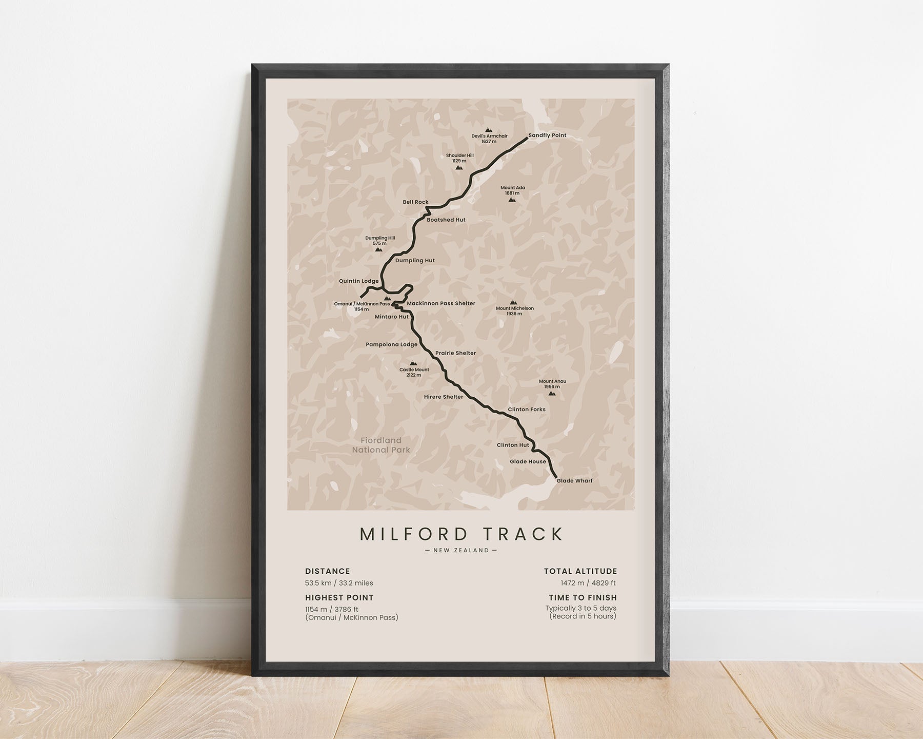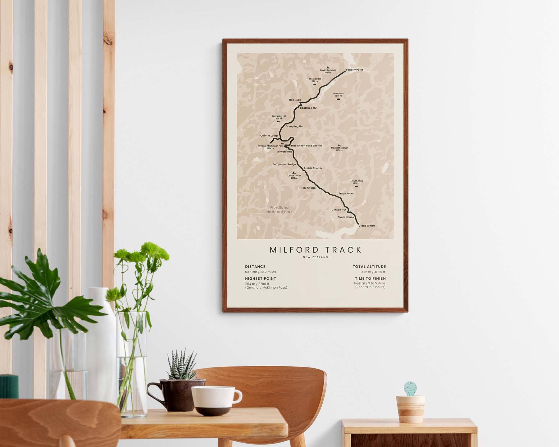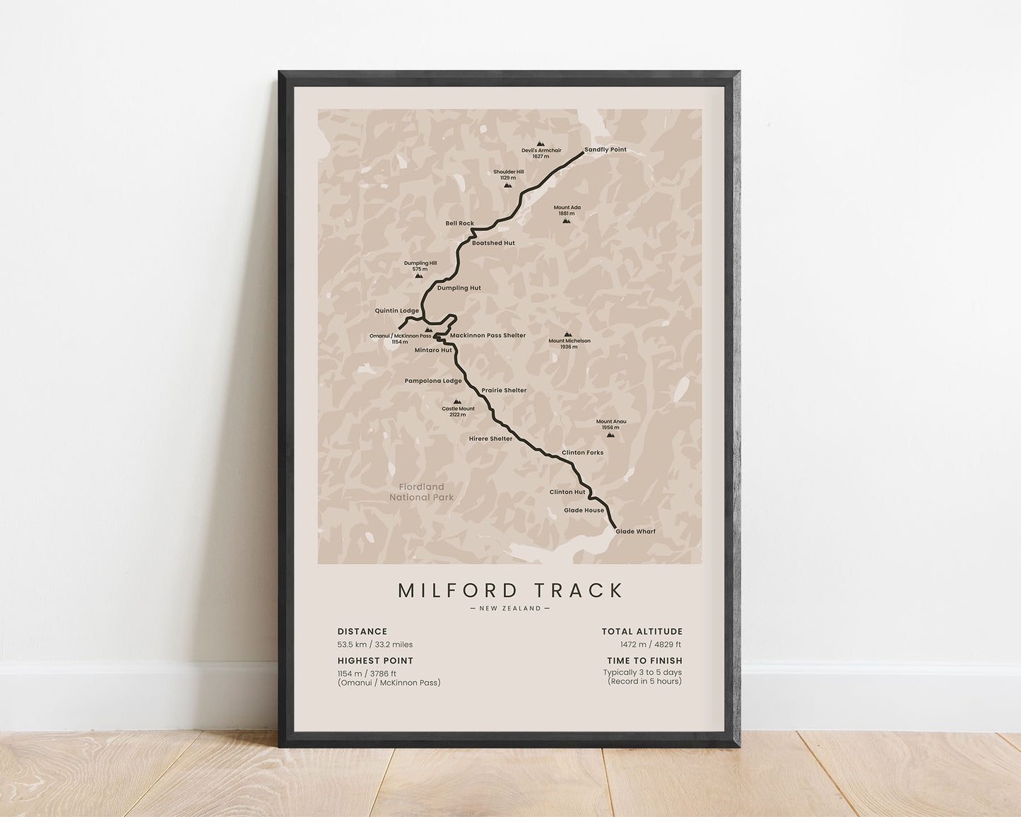
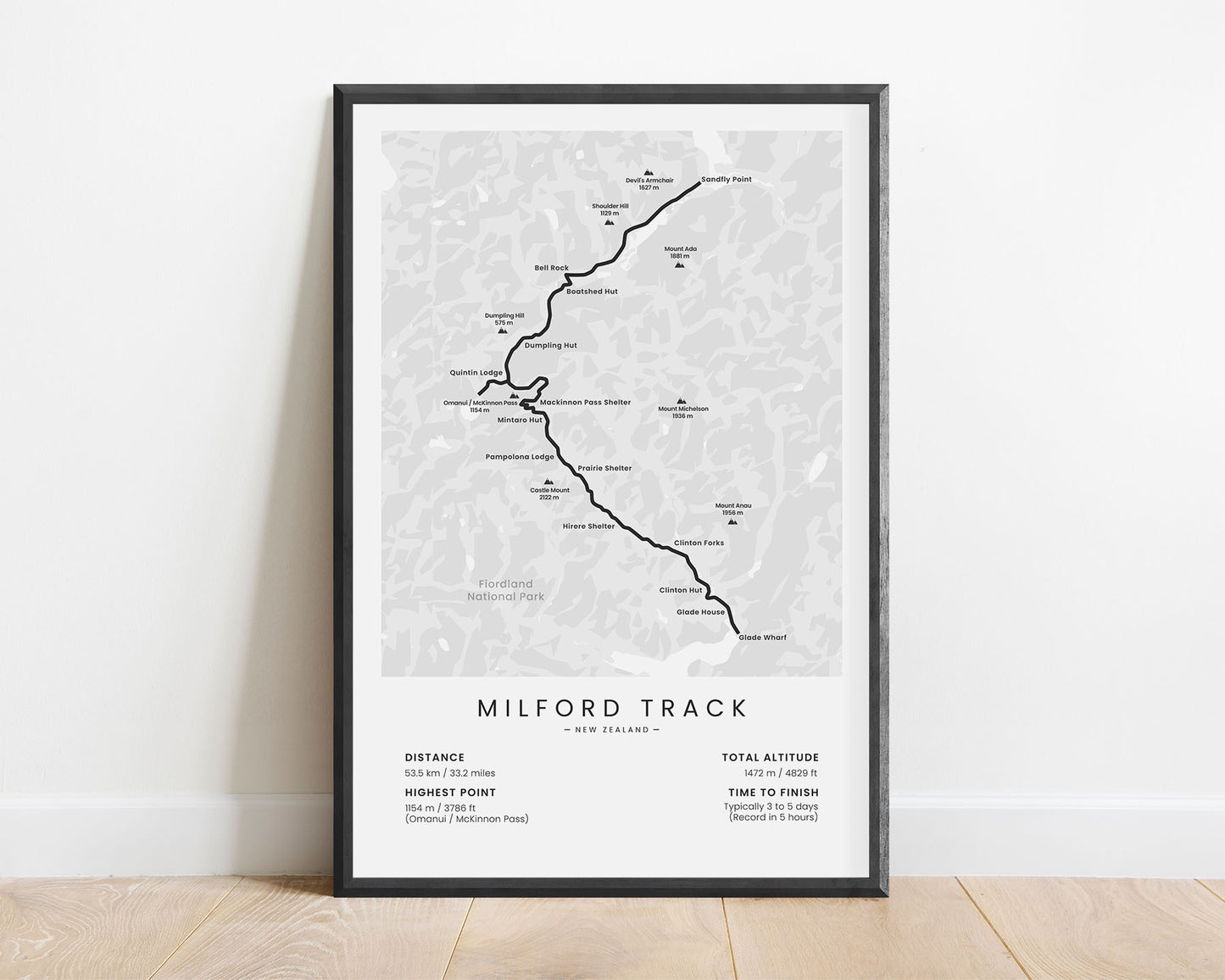
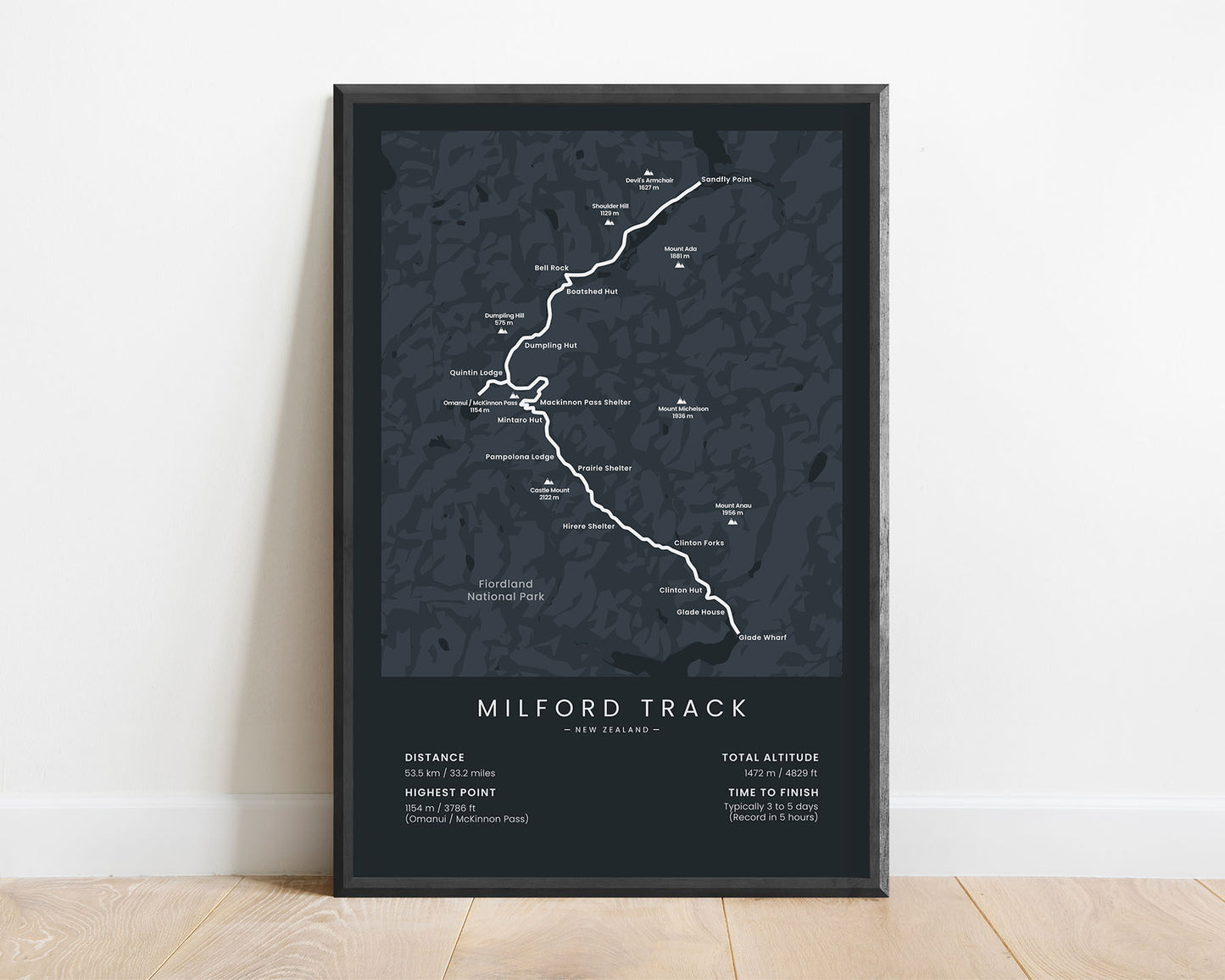
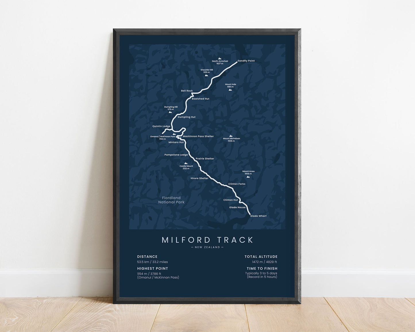
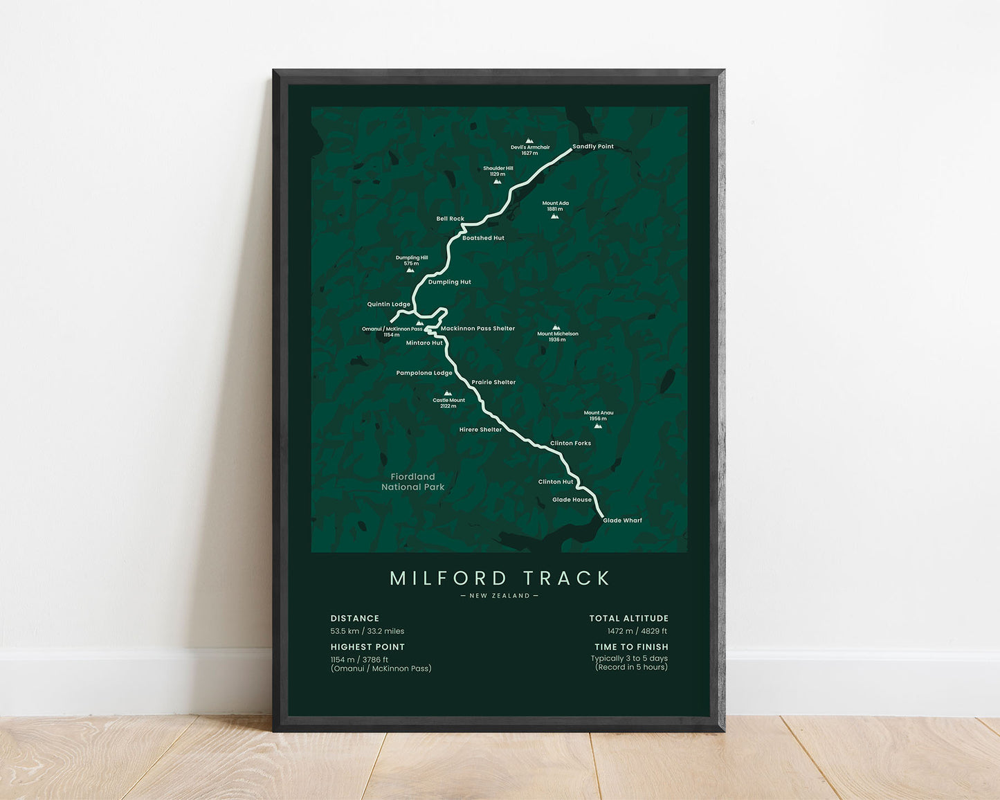
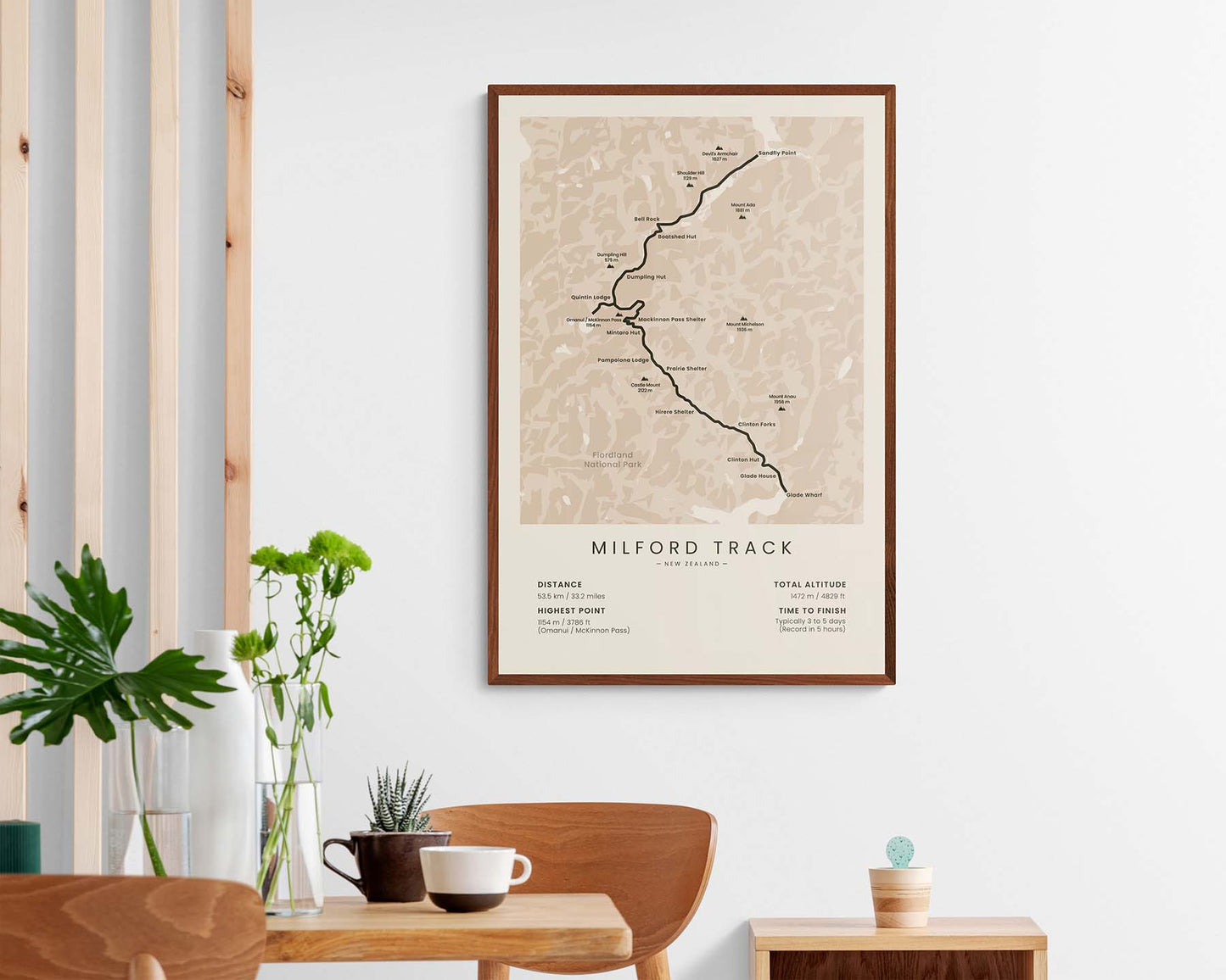


A print that shows the map of the Milford Track in New Zealand. It includes the full route of the trail, the highest peaks along the way, lodges, shelters, huts, and other points of interest. At the bottom, you’ll also find important statistics about the trail, such as the total distance, elevation gain, and more. It’s offered in many different color and size options so that you can choose a poster that will best fit into your interior.
About the Milford Track
The Milford Track (other called "the Finest Walk in the World") is a popular hike in the Fiordland National Park, South Island, New Zealand. It's not only popular in New Zealand, but also all over the world because it offers some spectacular scenery. You'll see amazing views of the surrounding mountains, hike along high mountain passes, blue mountain lakes, fast waterfalls, and even traverse through rainforests. Although the total elevation gain isn't that high, this track should only be completed by people who aren't new to hiking, as you have to prepare for bad weather, and some parts of the track may be difficult to navigate. During the night, you can stay in various mountain huts and lodges, but booking in advance is necessary, especially during the peak season. Other popular hiking trails in New Zealand are the Kepler Track, the Tongariro Alpine Crossing, the Routeburn Track, and the Te Araroa.
Statistics About the Milford Track
- Total distance: 53.4 km / 33.2 miles
- Total altitude gain/loss): 1472 m / 4829 ft
- Highest point: 1154 m / 3786 ft (Omanui / McKinnon Pass)
- Time to finish: Typically 3-5 days
- Points of Interest: Fiordland National Park
- Country: New Zealand (South Island)
- Best time to hike: January - May

