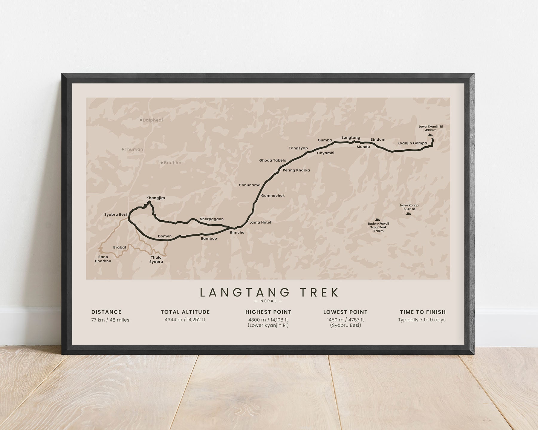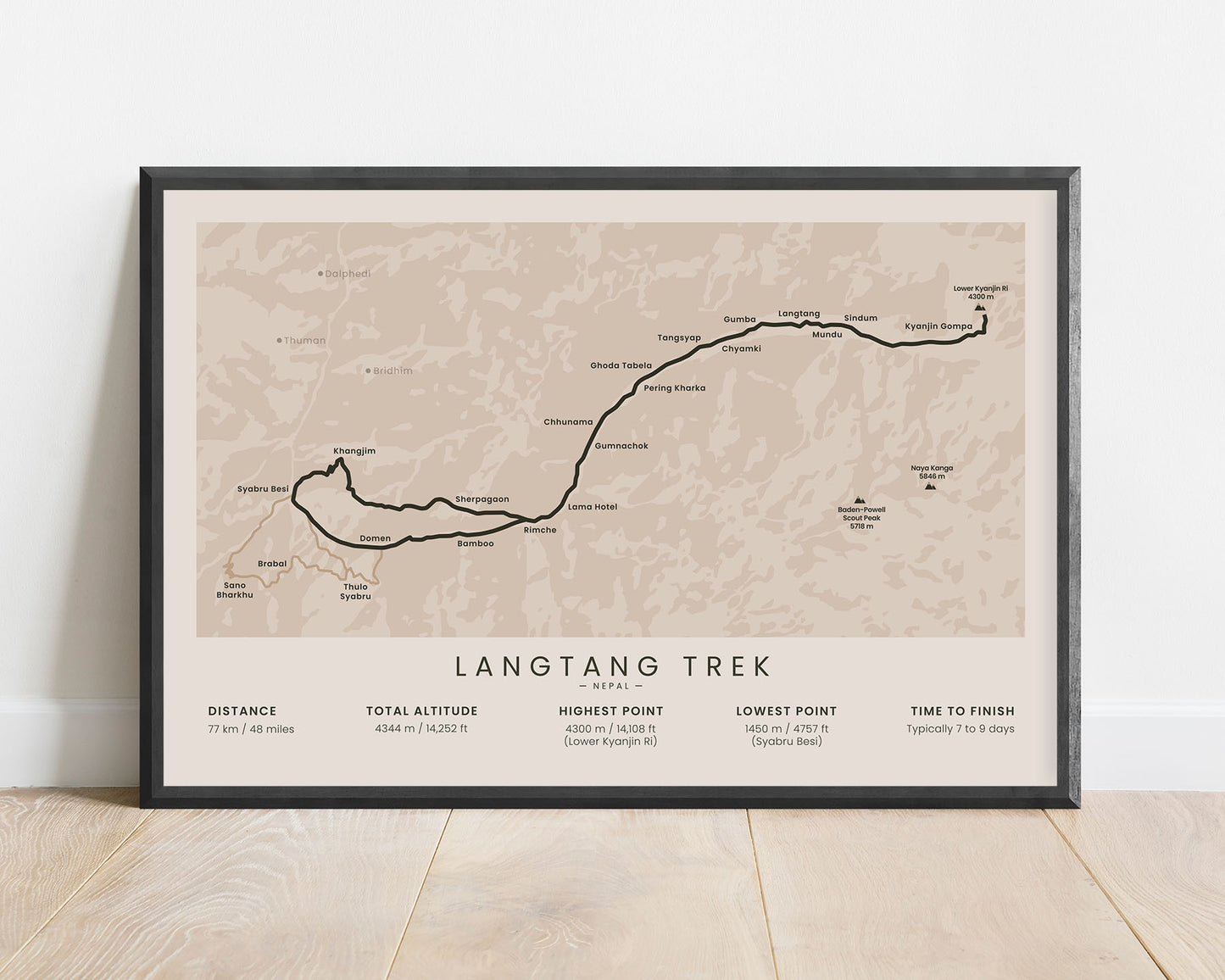
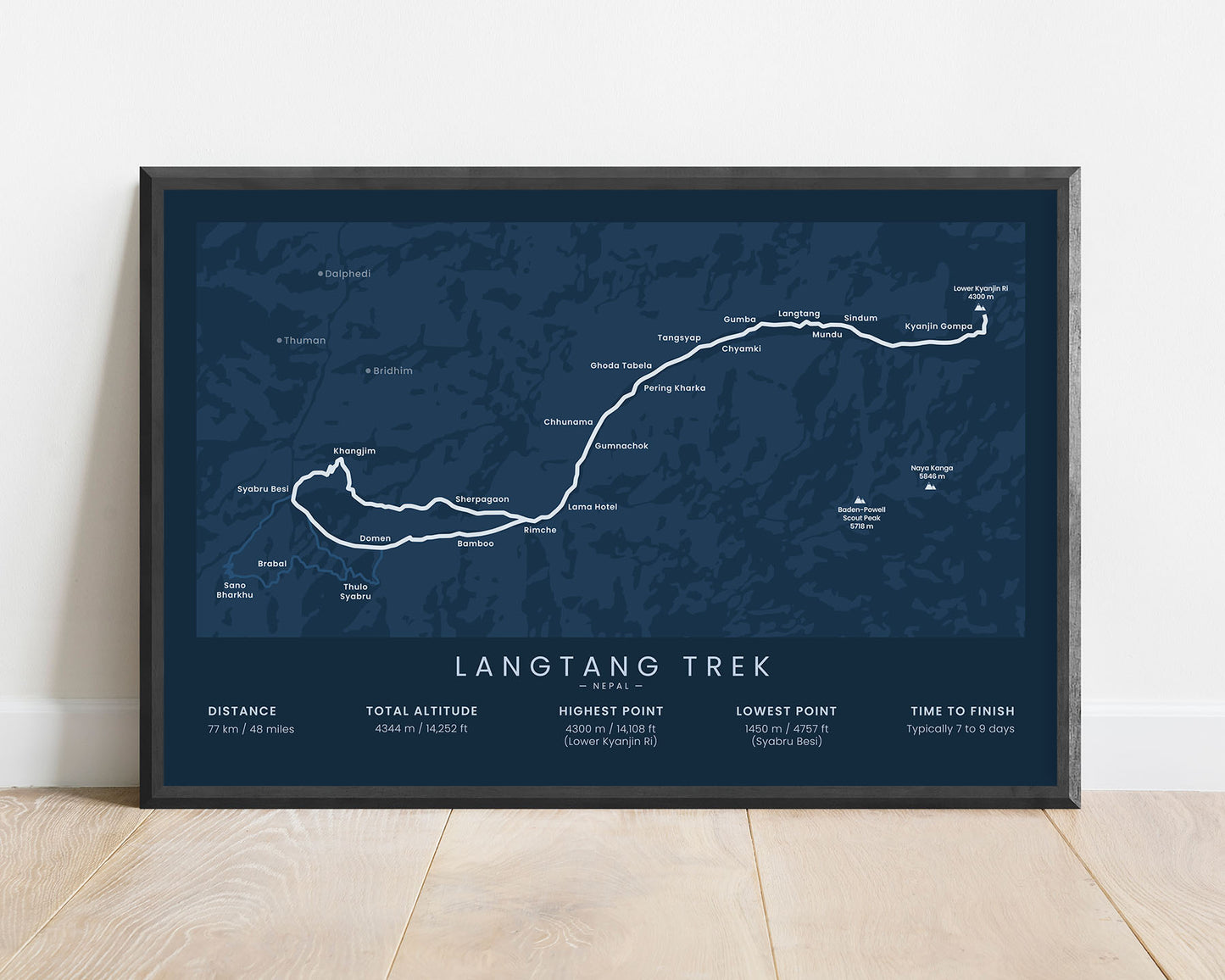
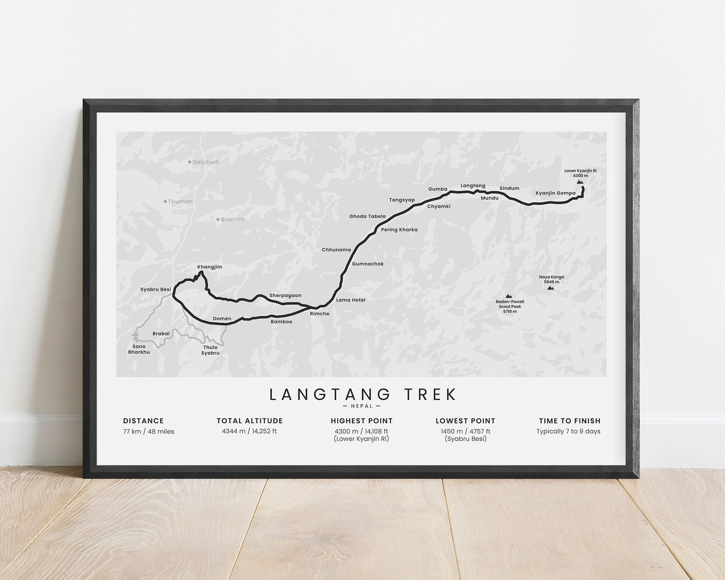
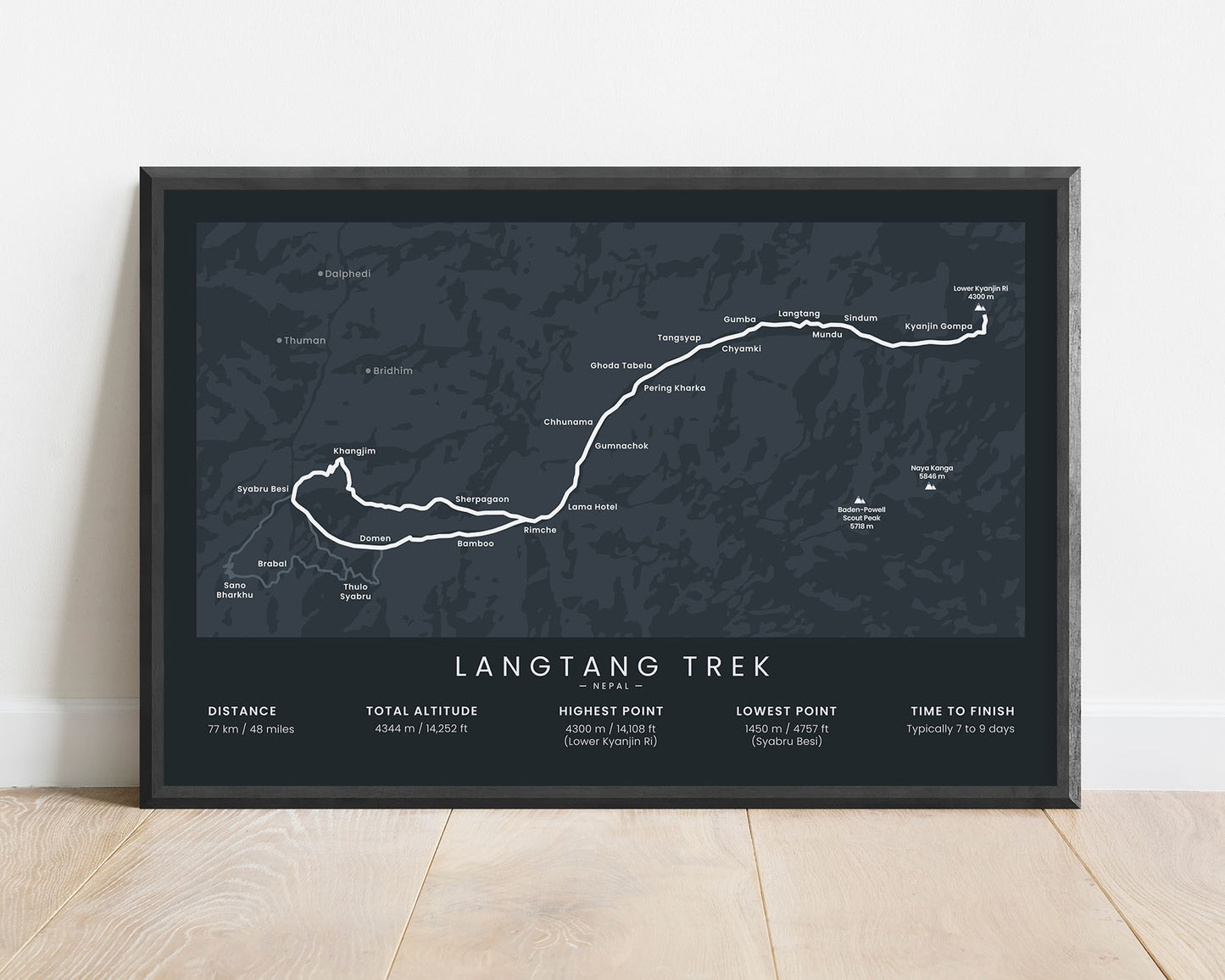
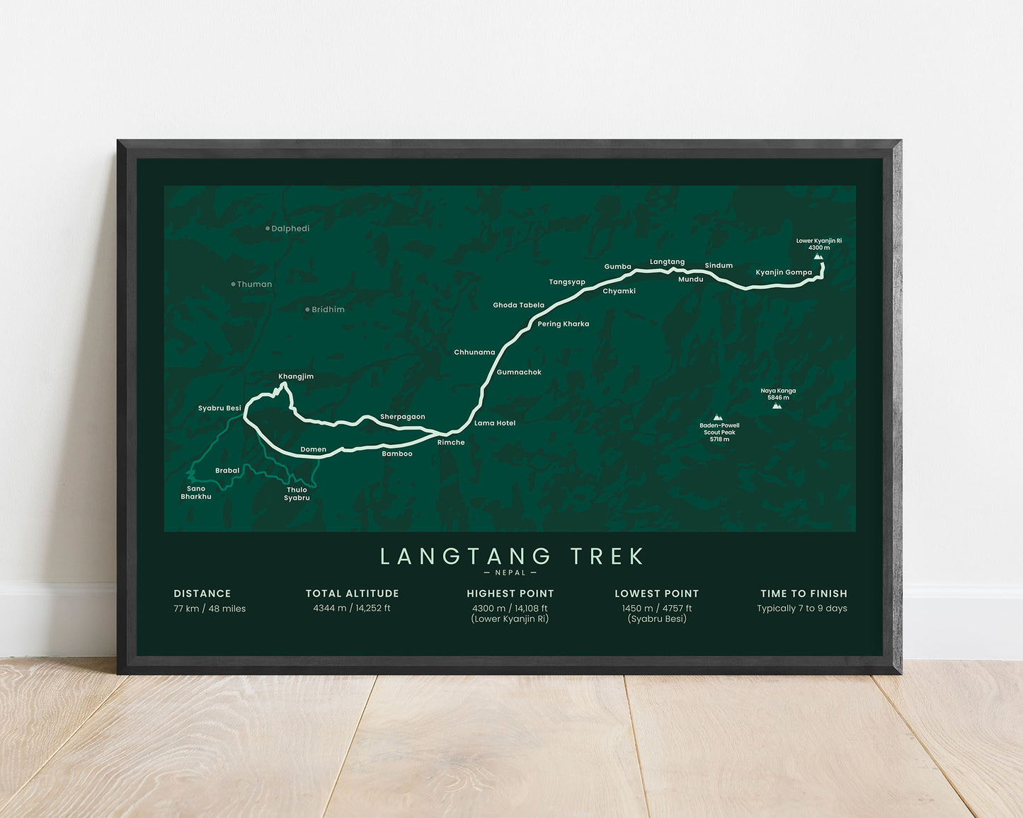


A poster of the Langtang Valley Trek in Nepal, Himalayas. It shows the full map of the trail, its total distance, elevation gain, highest point, highest peaks and villages along the way, and more. It’s styled minimally to look better as a design piece on your wall, rather than just being a typical map.
About the Langtang Valley Trek
The Langtang Valley Trek is a popular trek in the Himalayas Nepal, similar to the Everest Base Camp Trek, the Annapurna Circuit, and the Annapurna Base Camp Trek. That said, it's slightly less popular, so if you're looking to avoid the tourist crowds, then the Langtang Trek is a great option. It starts at the Syabry Besi, a day's ride from Kathmandu, then goes up to the Lower Kyanjin Ri peak through the Langtang Valley, and heads back on more or less the same route with minor variation at the end. The Langtang trek is considered to be one of the easier treks in Nepal because it has a small, gradual elevation gain, and the total distance isn't too long. Nevertheless, the views you'll experience are just as amazing - you'll see glaciers, high mountain peaks (Langtang Ri, Langtang, Langsisa, Ganjala, and more), rich valley wildlife and flora, and experience the Tibetian Culture.
Statistics About the Langtang Trek
- Start point: Syabru Besi, Nepal
- End point: Lower Kyanjin Ri, Nepal
- Total distance: 77 km / 48 miles
- Total altitude gain/loss: 4344 m / 14 252 ft
- Highest point: 4300 m / 14 108 ft (Lower Kyanjin Ri)
- Countries crossed: Nepal
- Points of Interest: Langtang Valley, Lower Kyanjin Ri
- Time to finish: Usually 7 to 9 days

