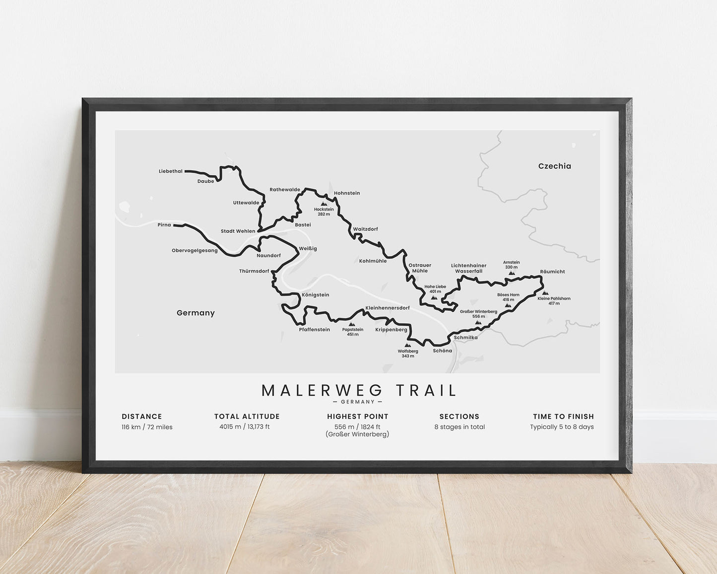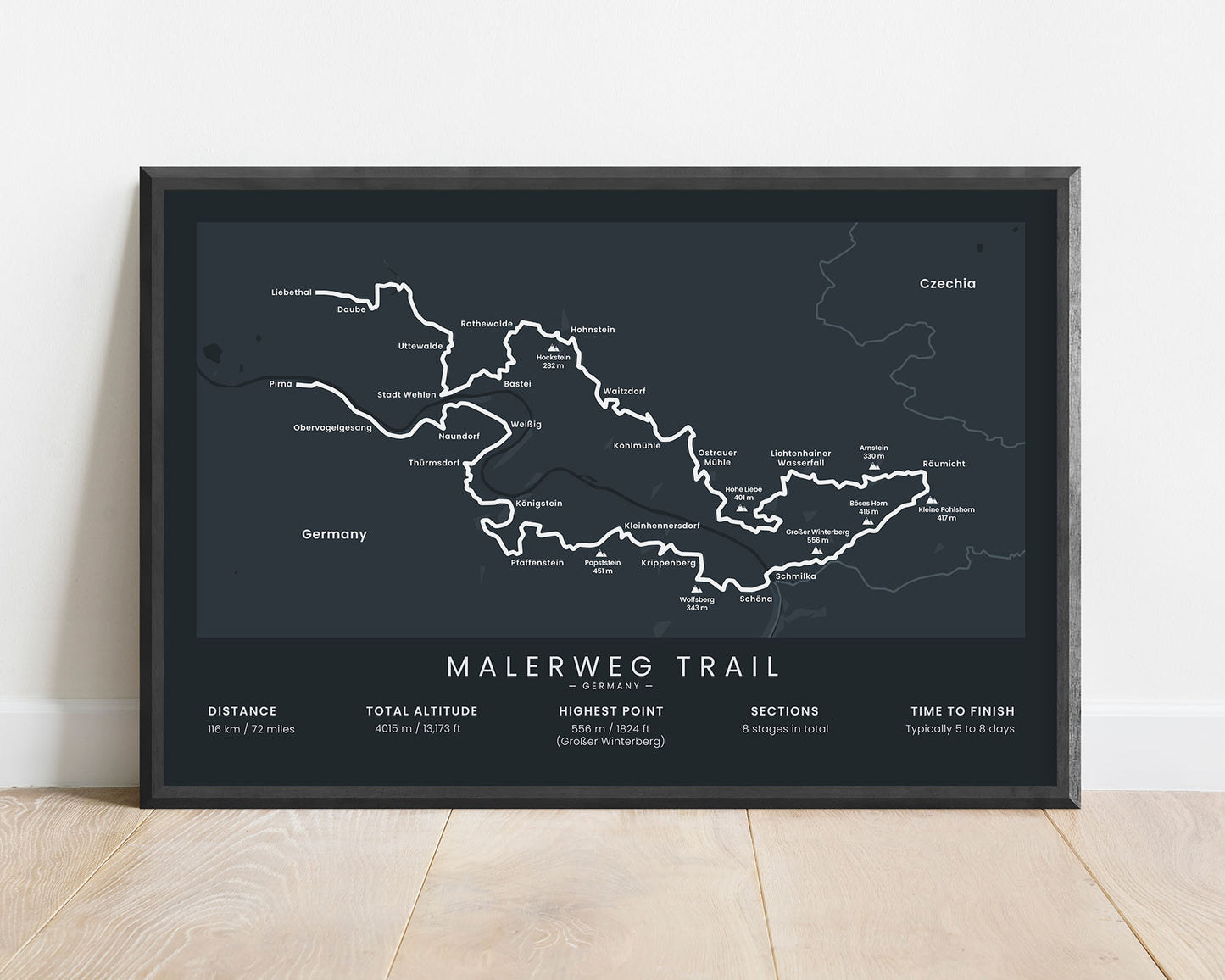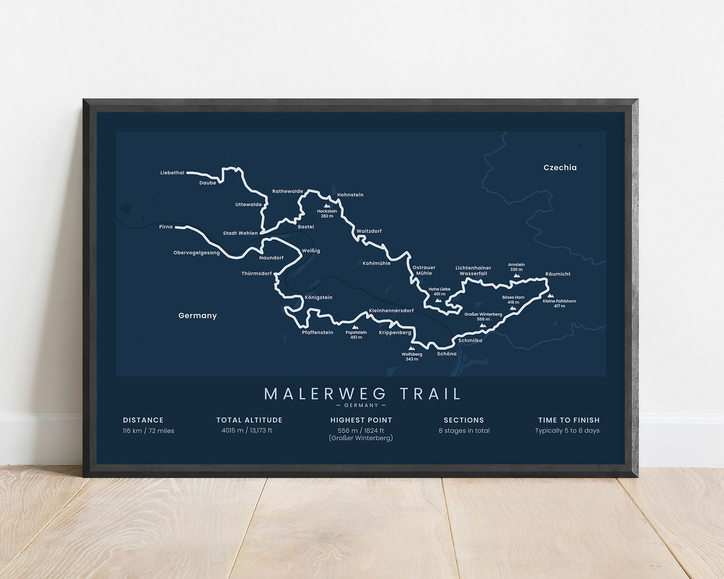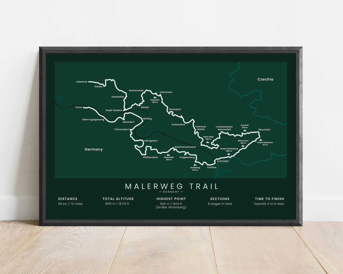


A minimalistic print that shows the map of the Malerweg long-distance hiking trail in Germany. It shows the main route of the trail, the highest points (Papststein, Grosser Winterberg, Boses Horn, Kleine Pohlshorn, and others) the largest cities (Prina, Liebethal, and others), as well as other important statistics about the trail. It’s offered in 5 different minimal color options and several different sizes so that you can choose one that best fits your interior.
About the Malerweg Trail
The Malerweg is a popular long-distance hiking trail in Germany. It's located in central Germany near the Czechia-Germany border and takes you through some of the most spectacular scenery that Germany has to offer. It goes through the Saxon Switzerland National park, which is known for the Elbe sandstone mountains, beautiful, lush hills, overgrown forests, and lots of wildlife. The Malerweg trail starts in Prima, then goes 116 km on an almost-loop-like trail, and finally ends at Liebethal. It's considered a fairly easy hike, and you'll find plenty of overnight stay opportunities along the way. Other popular hiking trails in Germany include the Rothaarsteig, Rheinsteig, and Rennsteig.
Statistics About the Malerweg Trail
- Start point: Liebethal, Saxony, Germany (near Dresden)
- End point: Pirna, Saxony, Germany
- Total distance: 116 km / 72 miles
- Total altitude gain/loss: 4015 m / 13 173 ft
- Highest point: 556 m / 1824 ft (Grosser Winterberg)
- Regions crossed: Saxony
- Points of interest: Elbe, Saxon Switzerland National Park, Elbe Sandstone Mountains
- Time to finish: Typically 6 to 9 days


