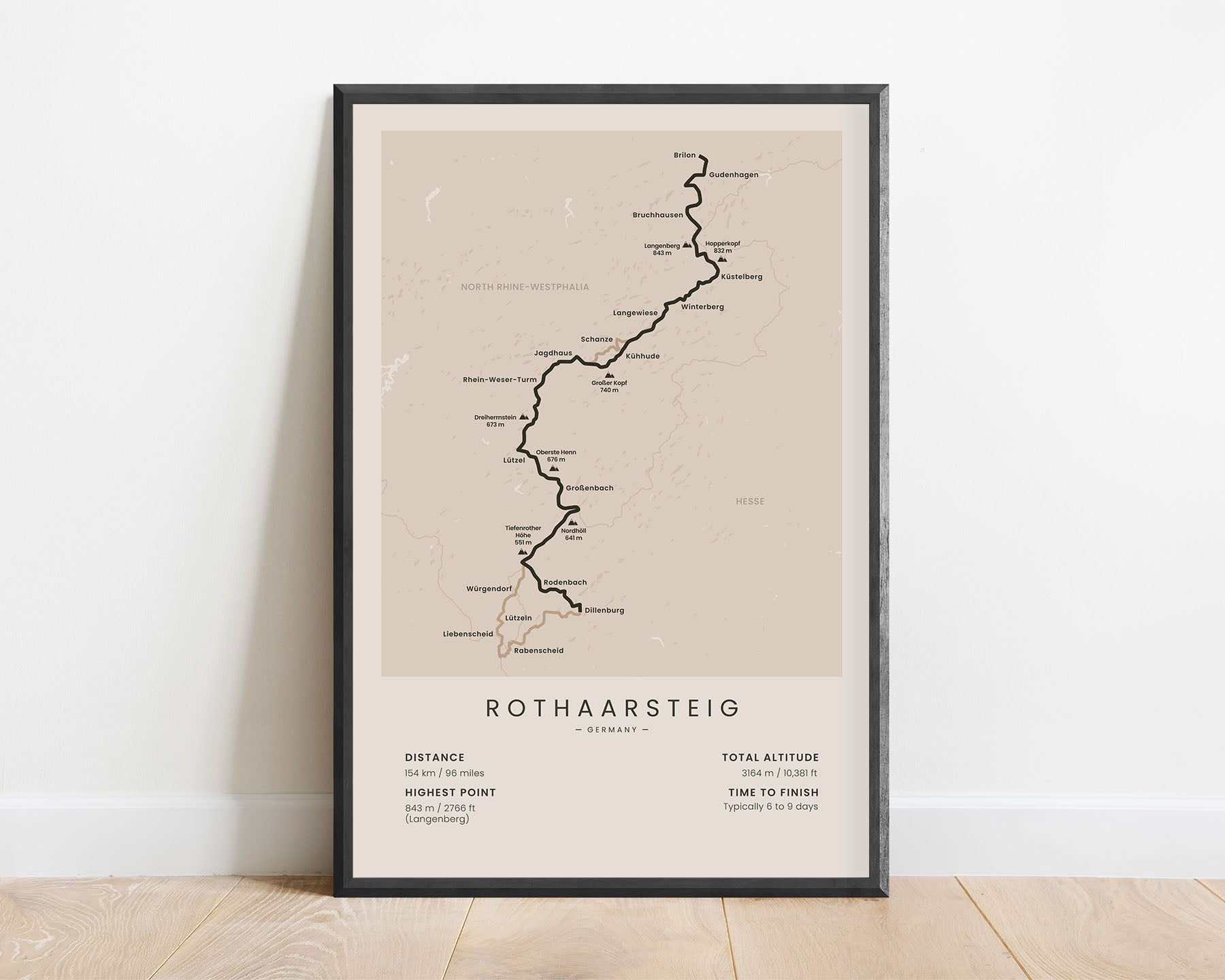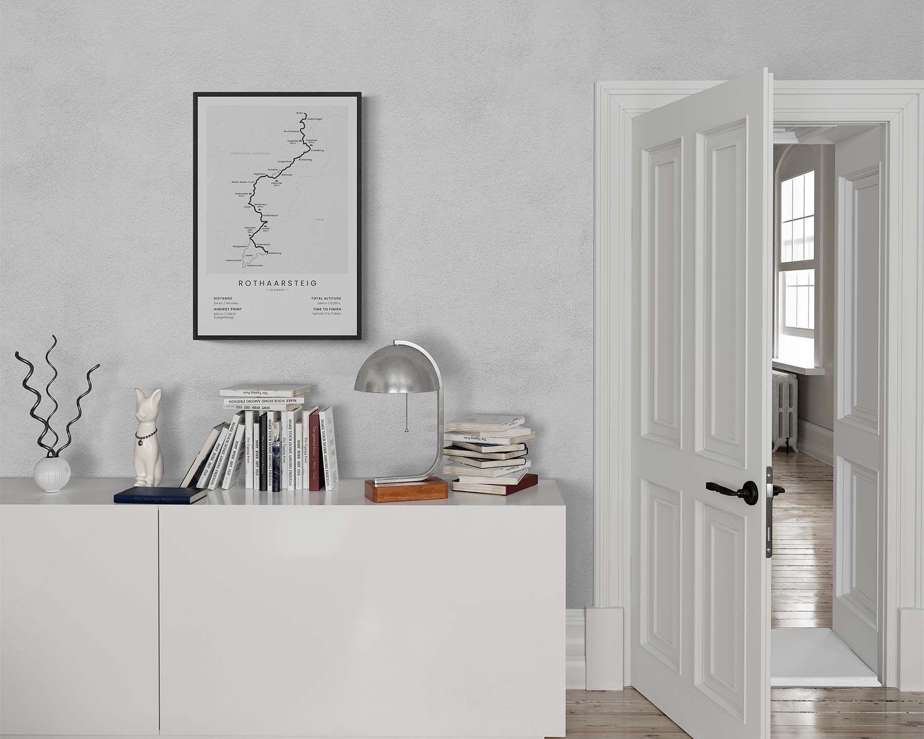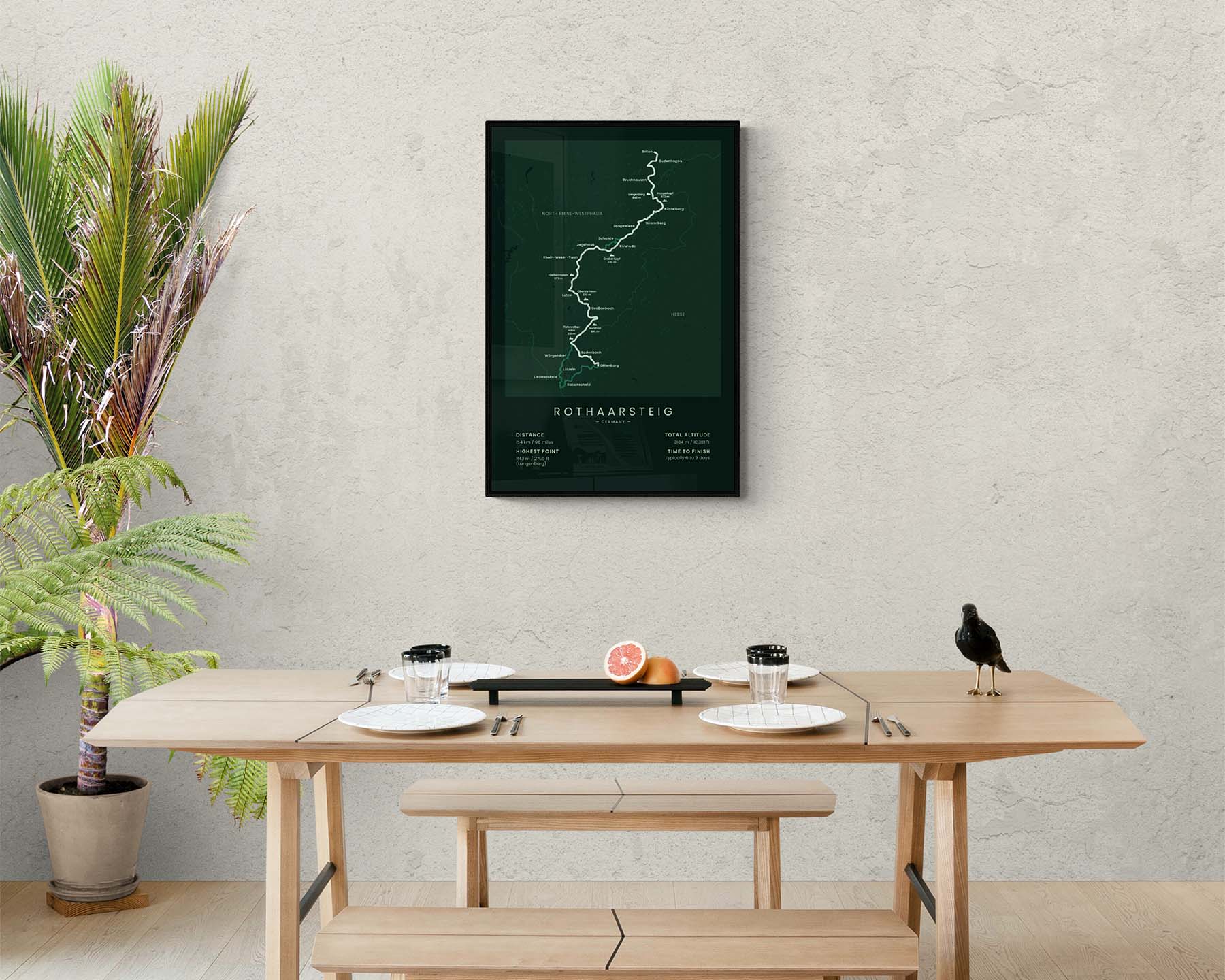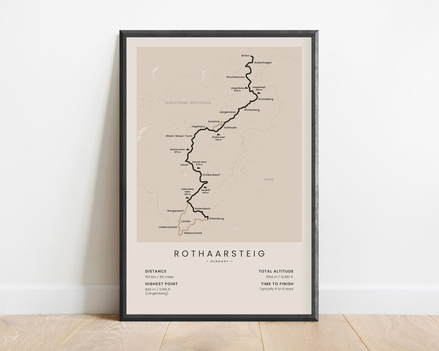
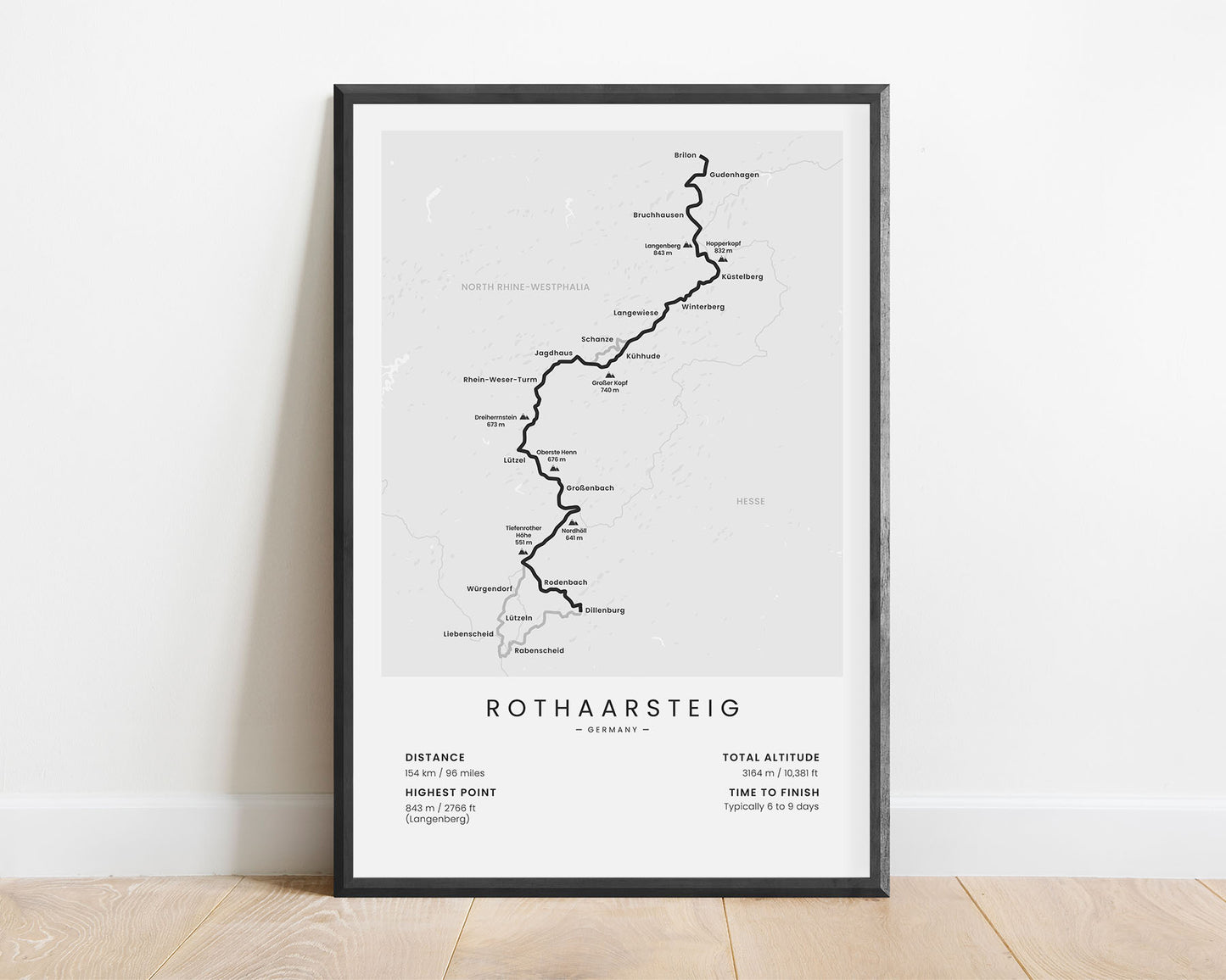
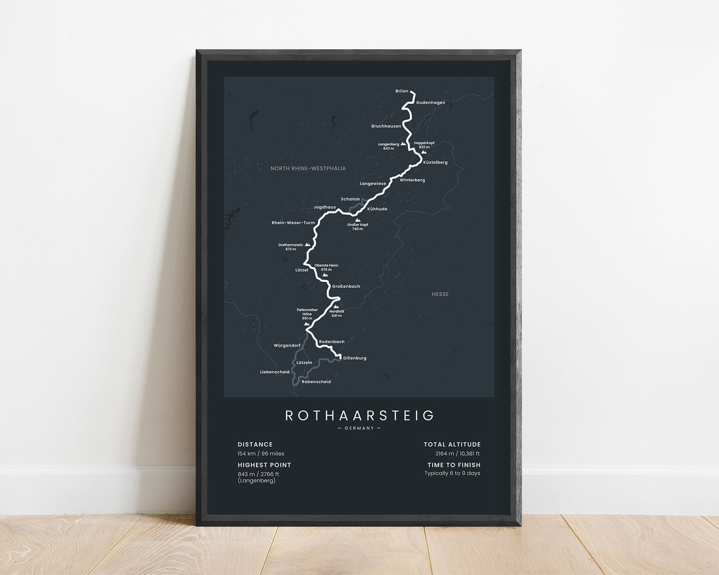
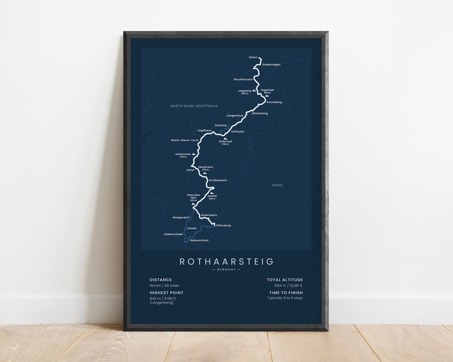
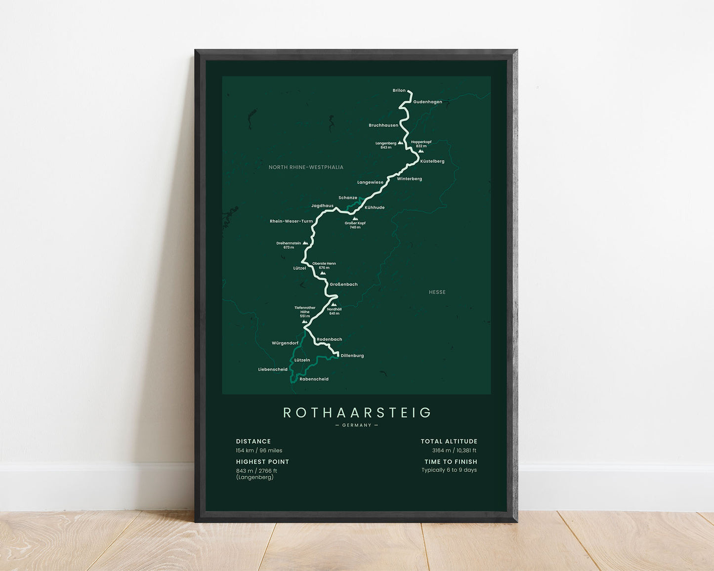
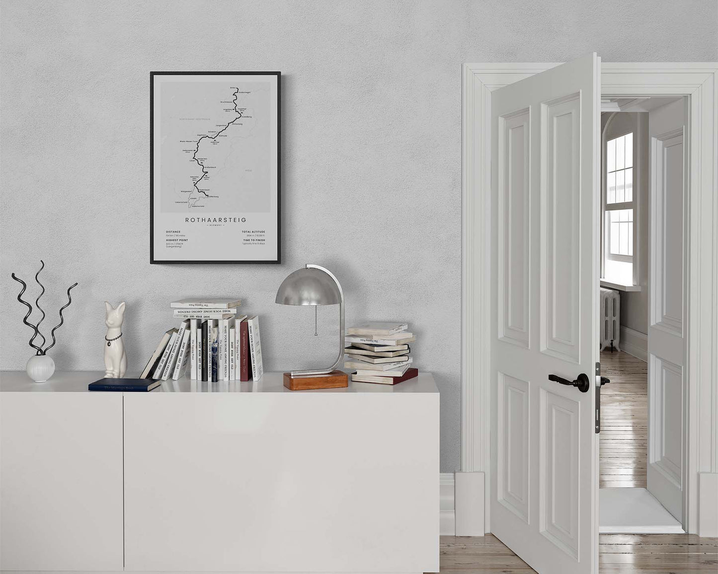
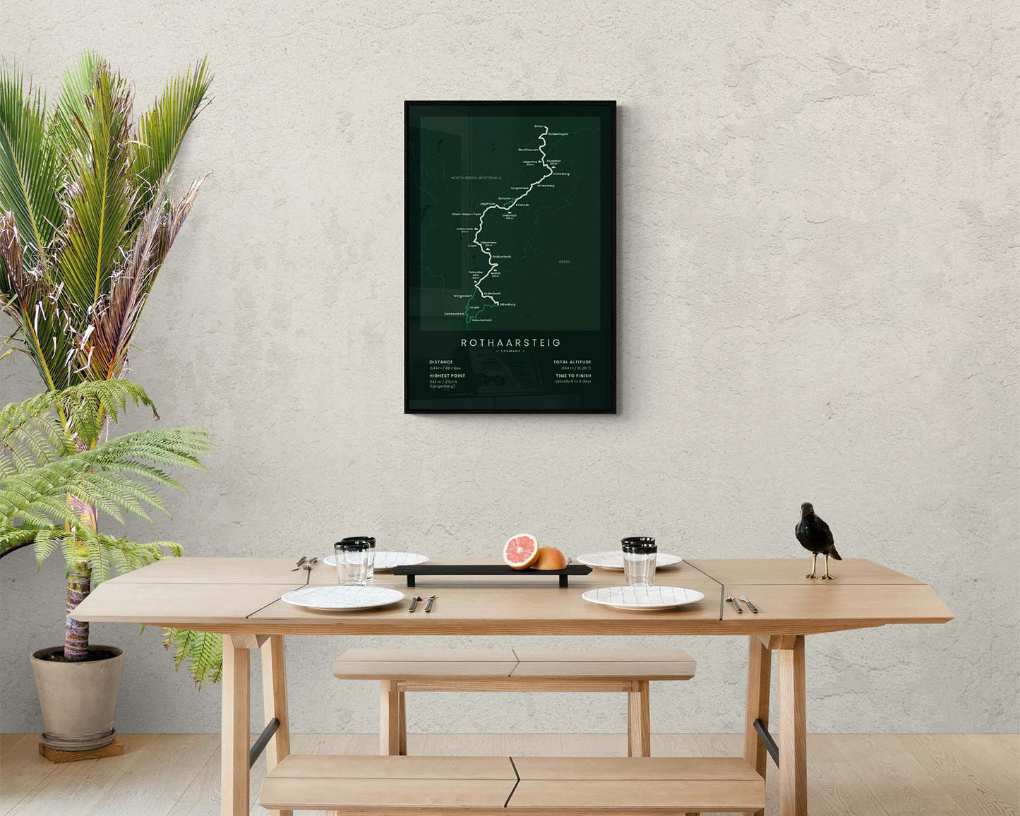

A poster that displays the map of the Rothaarsteig hiking trail in Germany. It shows the full route of the trail, the highest peaks along the way (Hopperkopf, Grosser Kopf, Dreiherrstein, and more), the largest cities (Dillenburg, Brilon, Lutzel, and more), and other important features of the trail. It’s offered in several different minimalistic color options so that you can choose a poster that best fits your own interior.
About Rothaarsteig
The Rothaarsteig (other called the Rothaar Trail) is a popular long-distance hiking trail in central Germany, in the regions of North Rhine-Westphalia and Hesse. It goes 154 through the Rothaargebirge Mountains and the Rothaargebirge Natural Park, starting at Brilon and ending at Dillenburg. The trail itself passes through a very wild region of Germany, with lots of woodlands, rivers, plenty of wildlife, and overgrown, rolling hills. Rothaarsteig is so popular because the trail itself consists of many rope bridges, benches, sculptures, and other points of interest. It's considered a fairly easy hike with no difficult or steep sections and plenty of overnight accommodation options. Other popular long-distance trails in Germany that we've covered are the Malerweg, Rheinsteig, and Rennsteig.
Statistics About the Rothaar Trail
- Start point: Brilon, North Rhine-Westphalia, Germany
- End point: Dillenburg, Hesse, Germany
- Total distance: 154 km / 96 miles
- Total altitude gain/loss: 3164 m / 10 381 ft
- Highest point: 843 m / 2766 ft (Langenberg)
- Regions crossed: North Rhine-Westphalia, Hesse
- Time to finish: Typically 6 to 9 days

