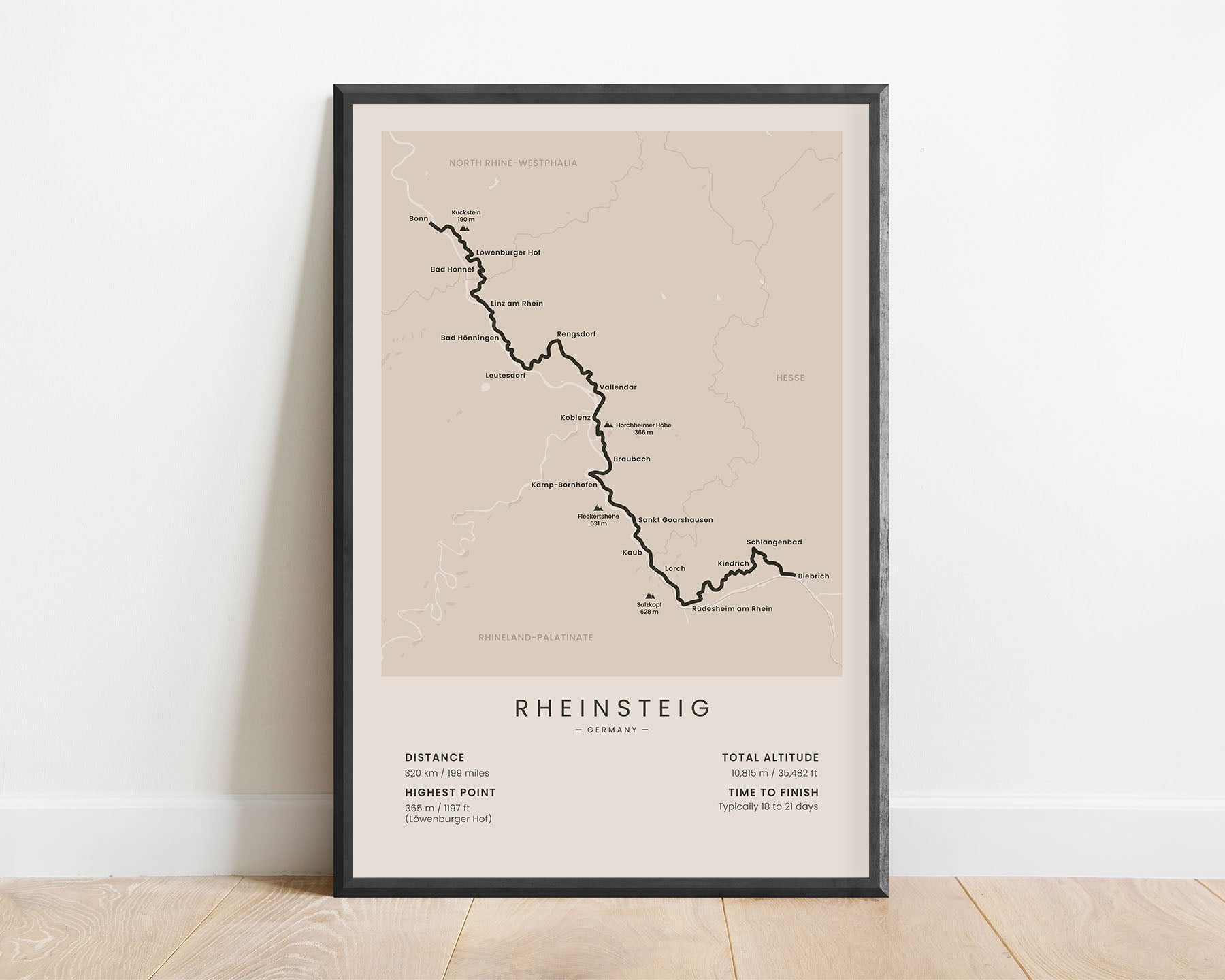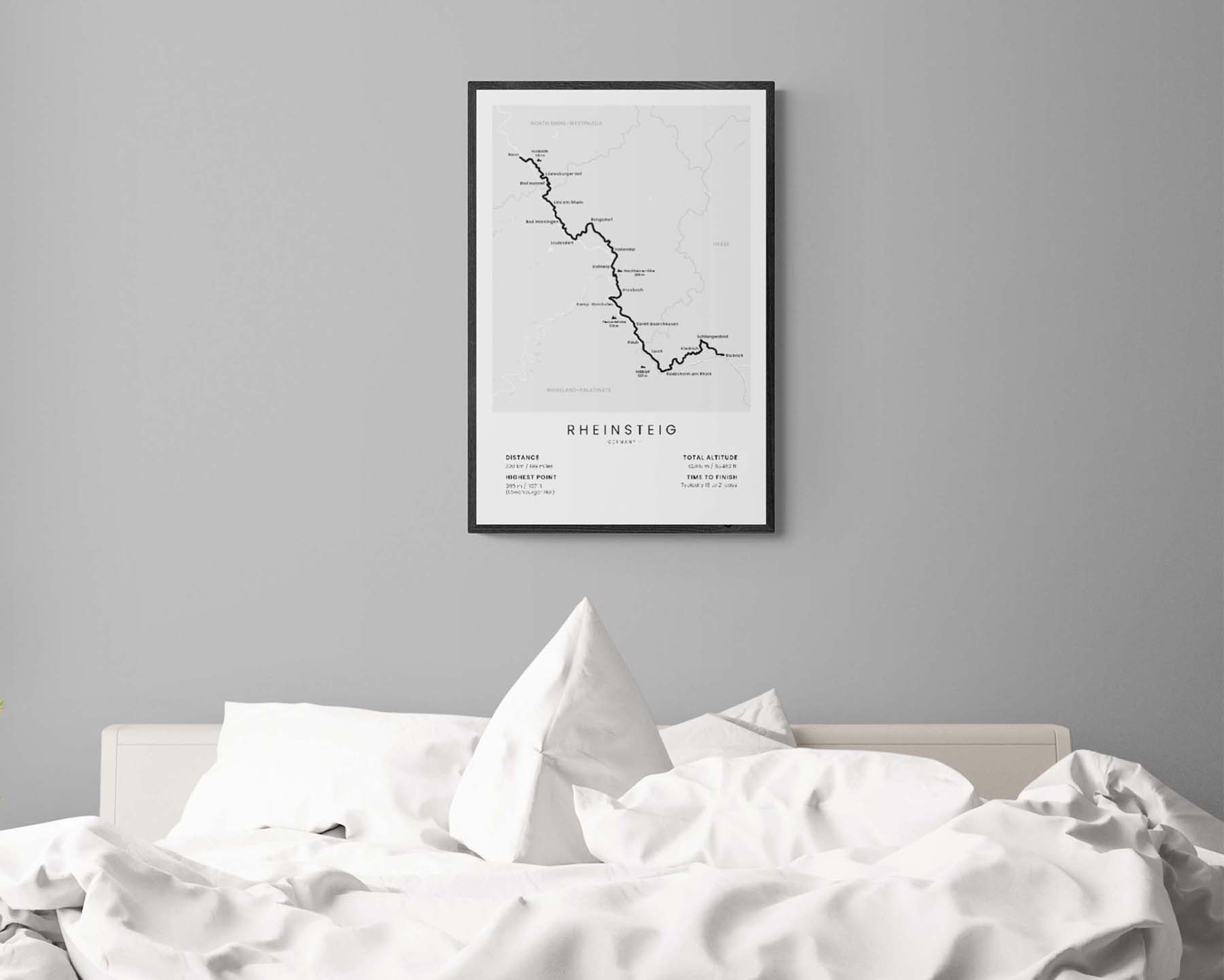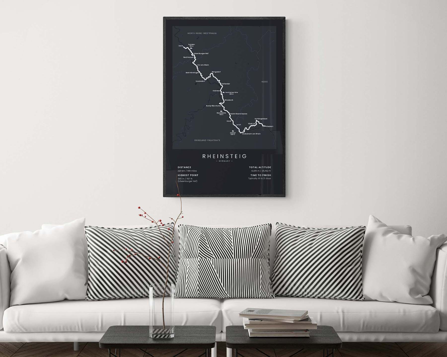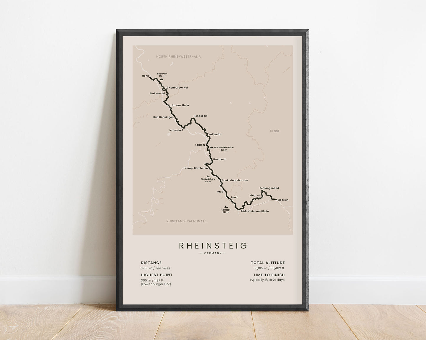
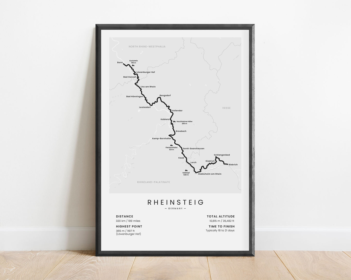
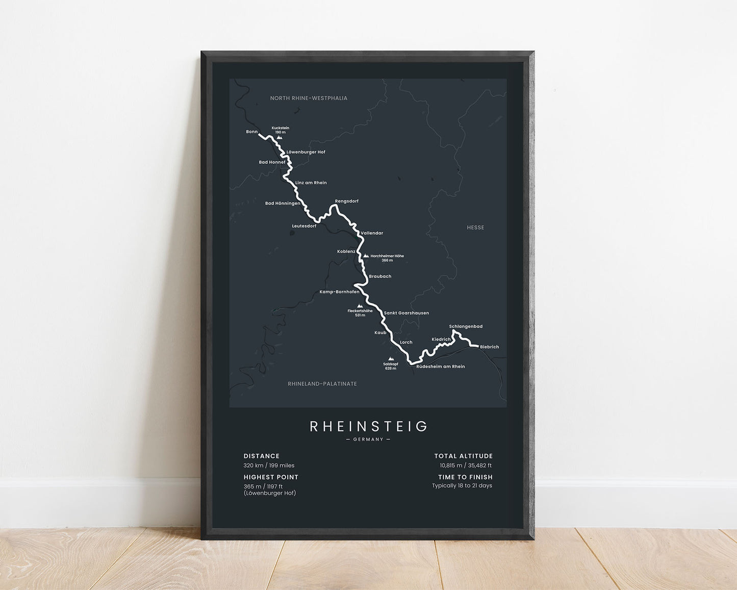
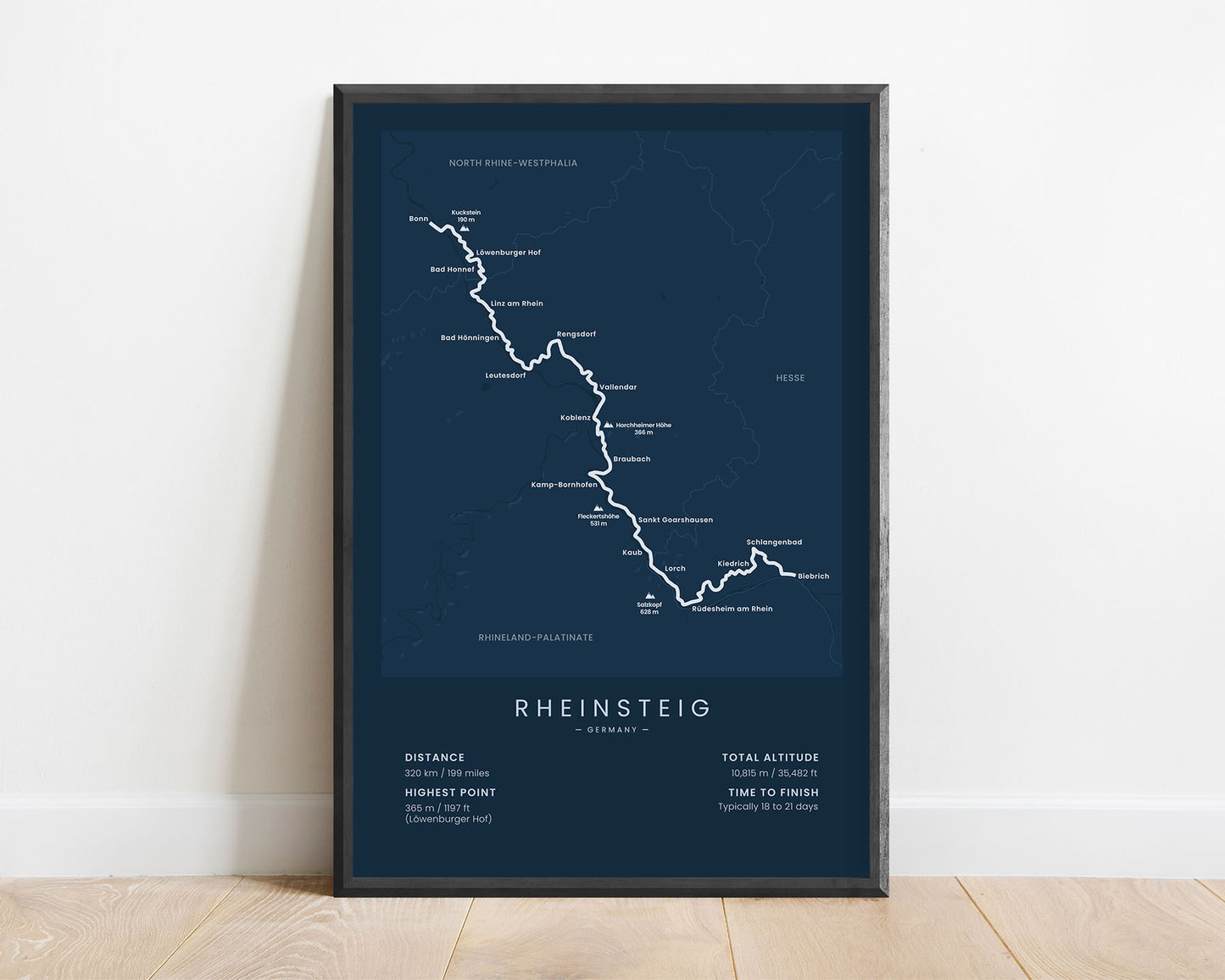
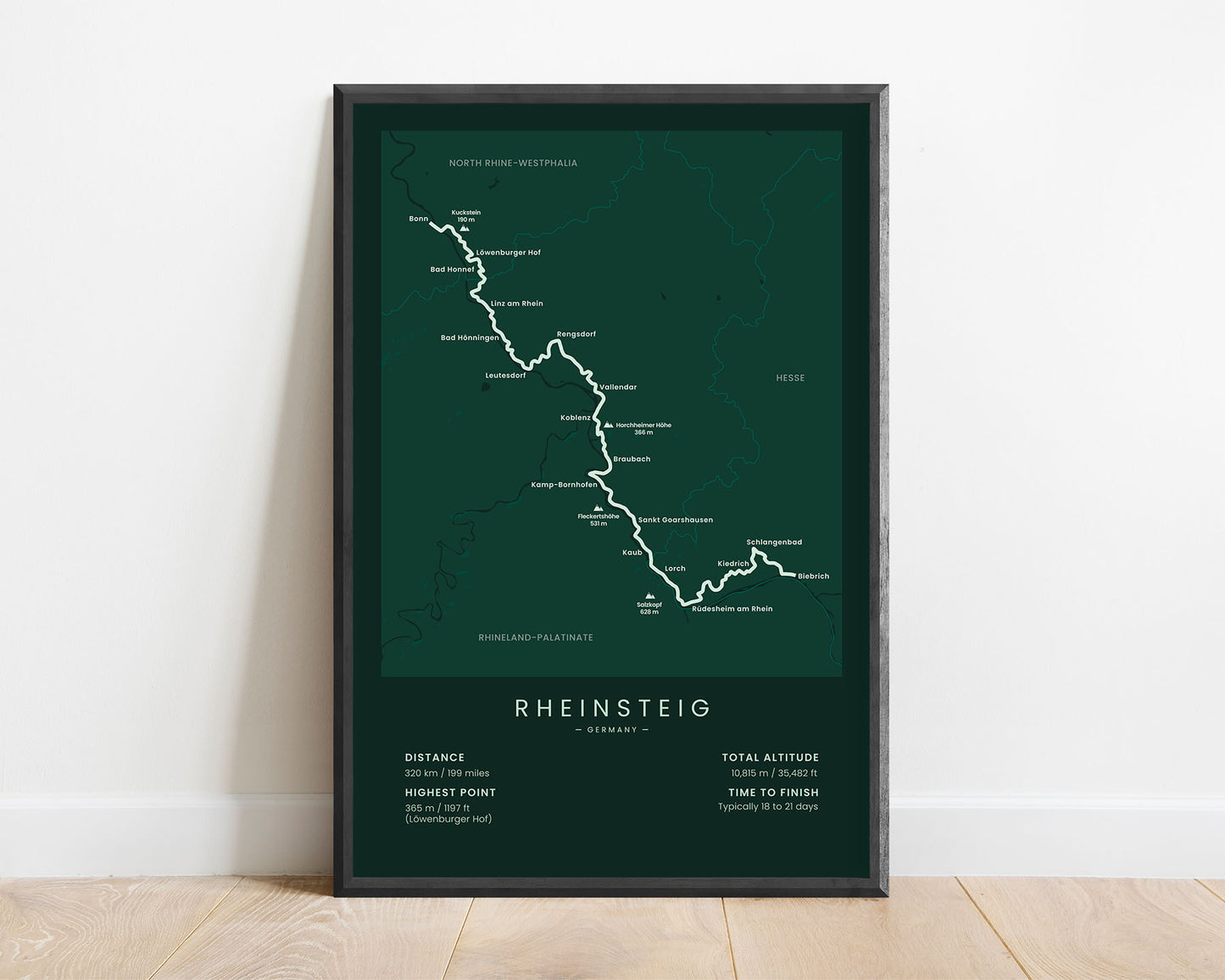
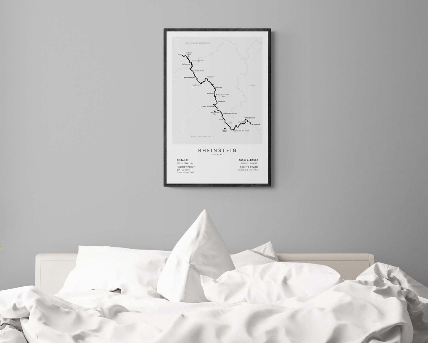
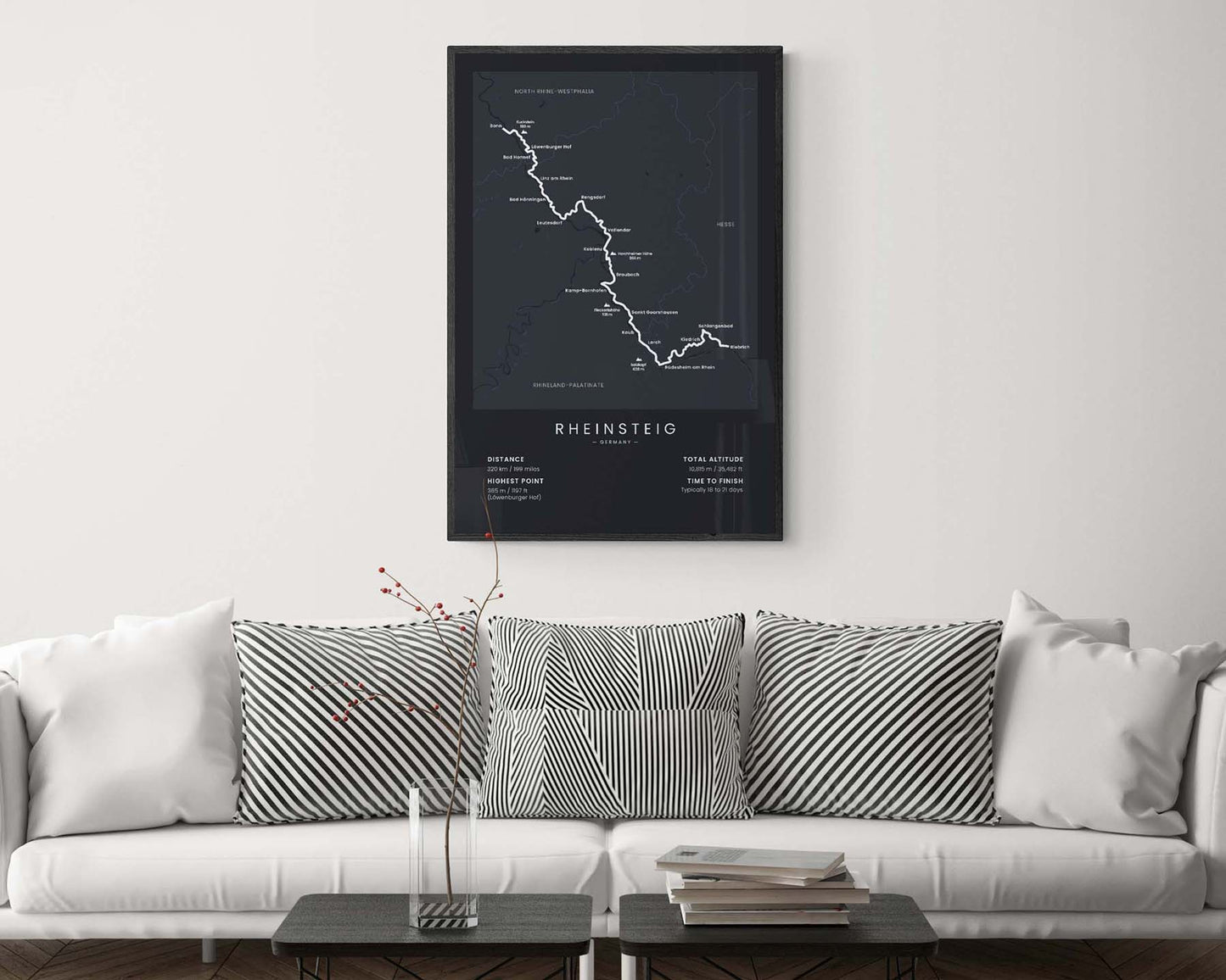

A print that displays the map of the Rheinsteig long-distance hiking trail in Germany. It shows the most important details about the trail, like the total distance, total altitude, the highest point, the average time to finish, as well as many points of interest along the way. This poster is made in a minimal style to look good in Scandinavian and modern interiors. If you know a friend who has finished the Rheinsteig trail, then this will be a great gift to them.
About the Rheinsteig Trail
The Rheinsteig is a long-distance hiking trail in Germany that crosses the regions of North Rhine-Westphalia, Rhineland-Palatinate, and Hesse. It's 320 km long, and it essentially goes alongside the river Rhine, starting near Cologne and ending near Frankfurt. It's one of the most popular hiking trails in Germany because it's very well-waymarked, goes through a lot of smaller villages and cities, and offers some spectacular views of the surrounding area - overgrown hills, thick forests, and countless vineyards. Some other popular trails in Germany include the Rennsteig, Malerweg, and Rothaarsteig.
Statistics About the Rheinsteig Trail
- Start point: Bonn, North Rhine-Westphalia, Germany
- End point: Biebrich, Hesse, Germany
- Total distance: 320 km / 199 miles
- Total altitude gain/loss: 10 815 m / 35 482 ft
- Highest point: 365 m / 1195 ft (Lowenburger Hof)
- Regions crossed: North Rhine-Westphalia, Rhineland-Palatinate, Hesse
- Points of interest: Rhine River, King's Stage, Loreley rocks
- Time to finish: Typically 18 to 21 days

