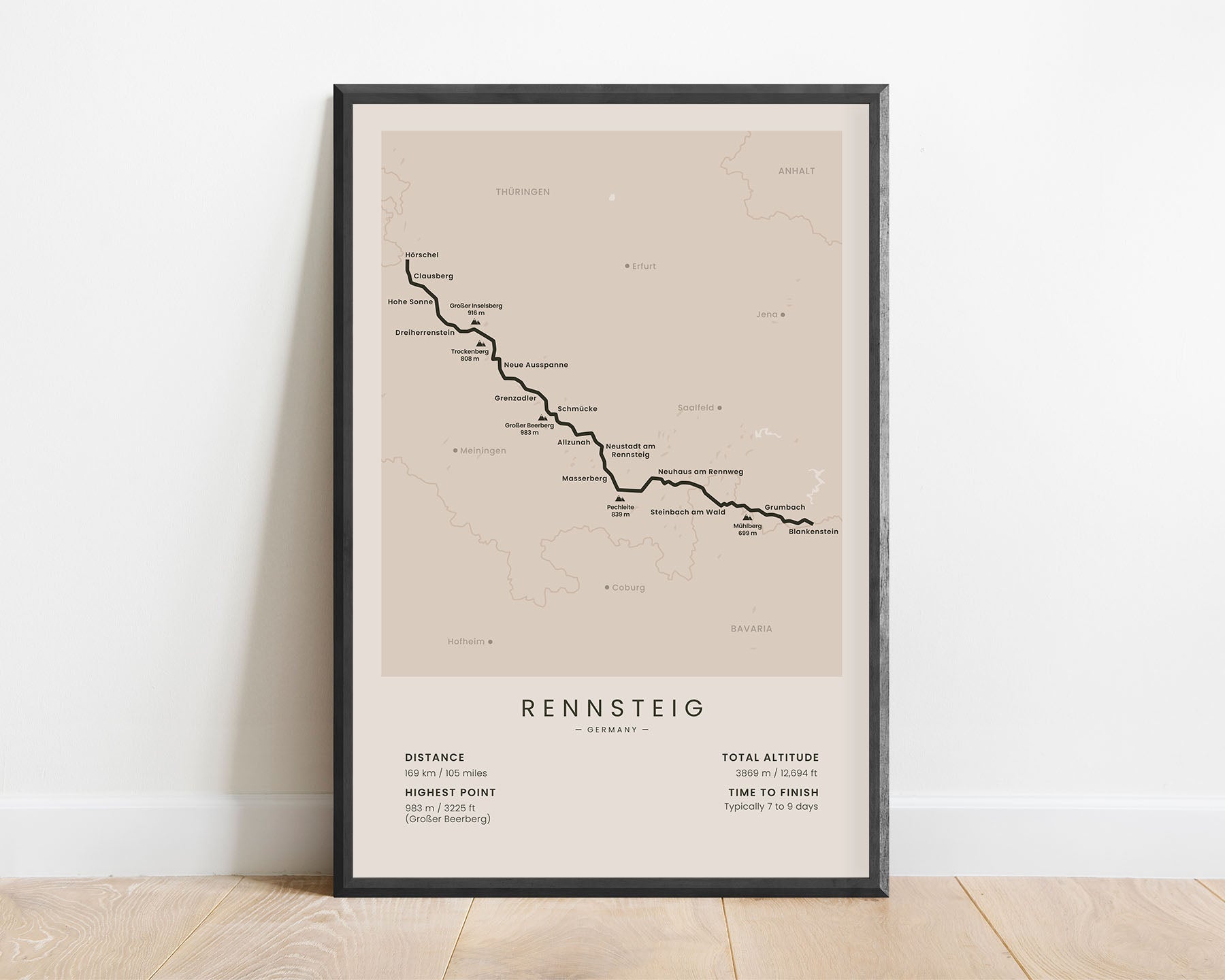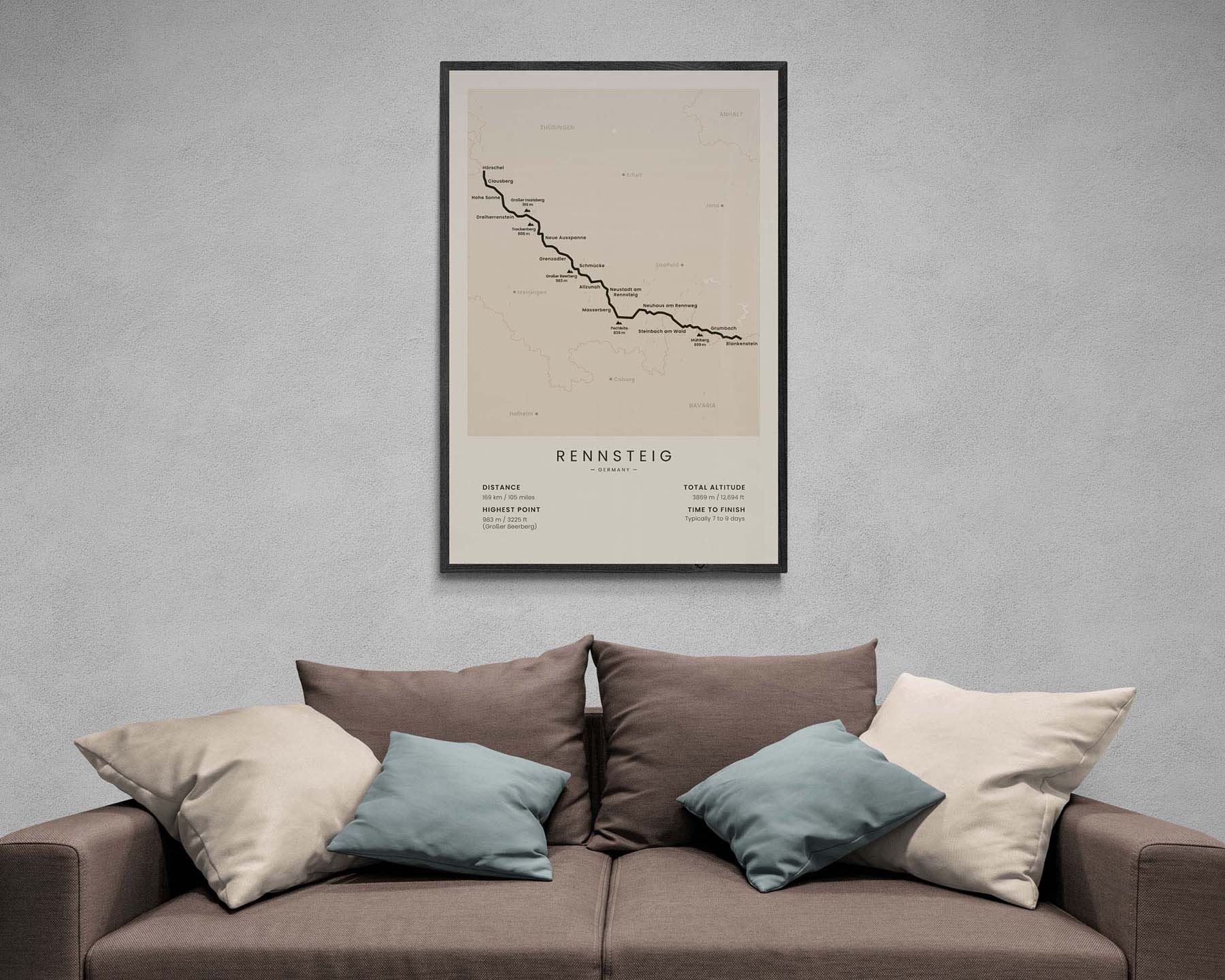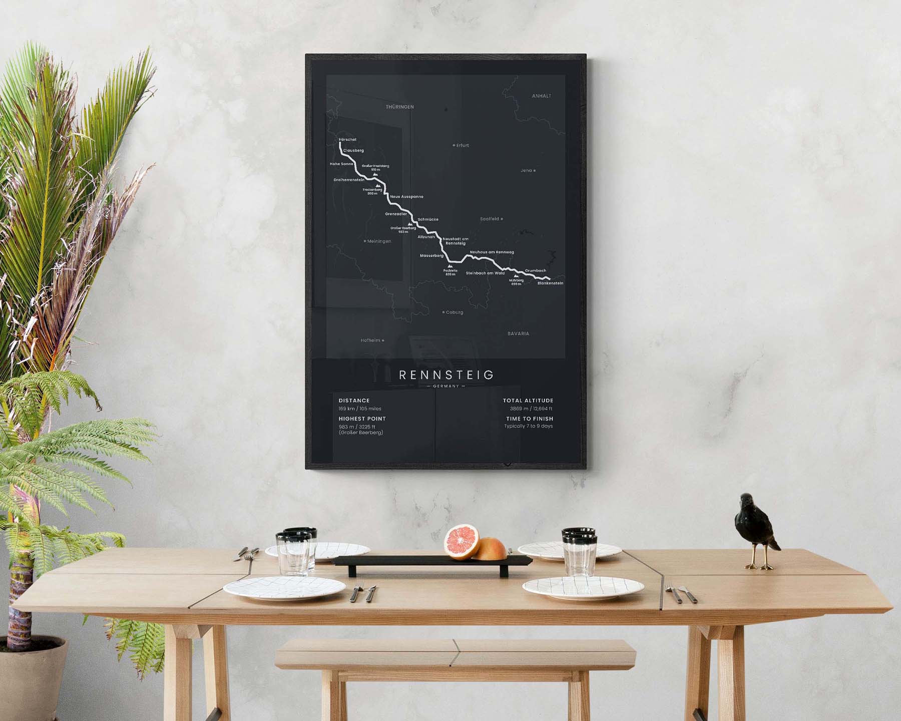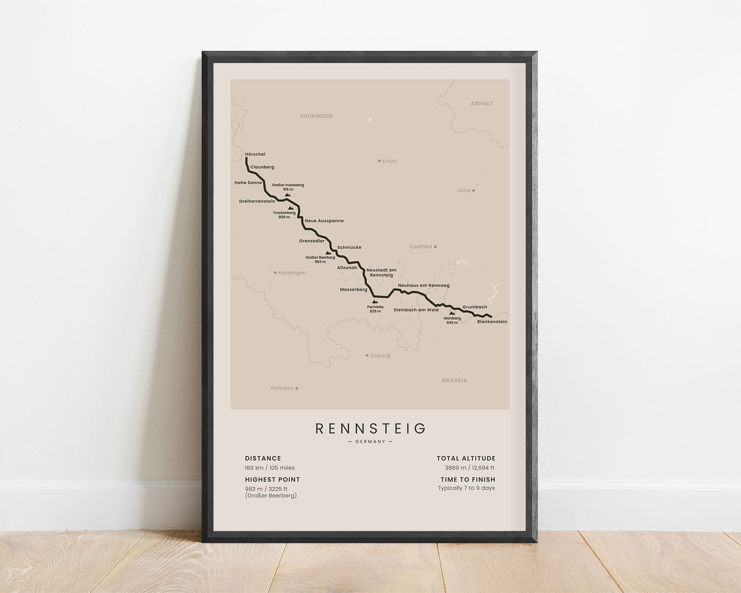
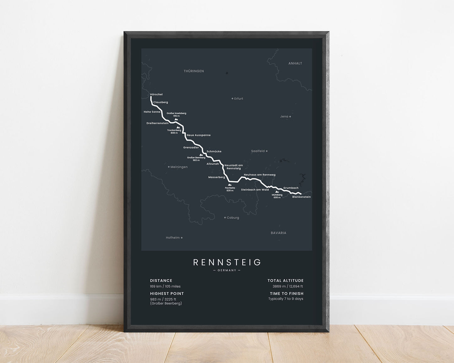
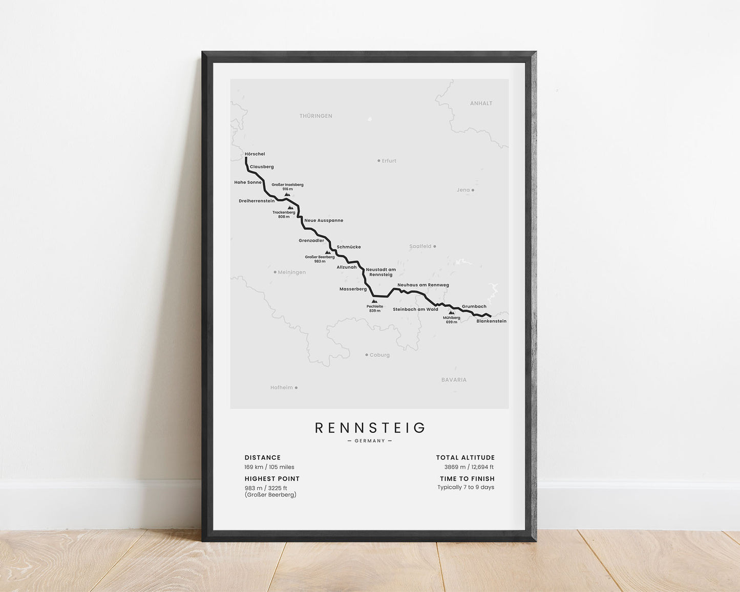
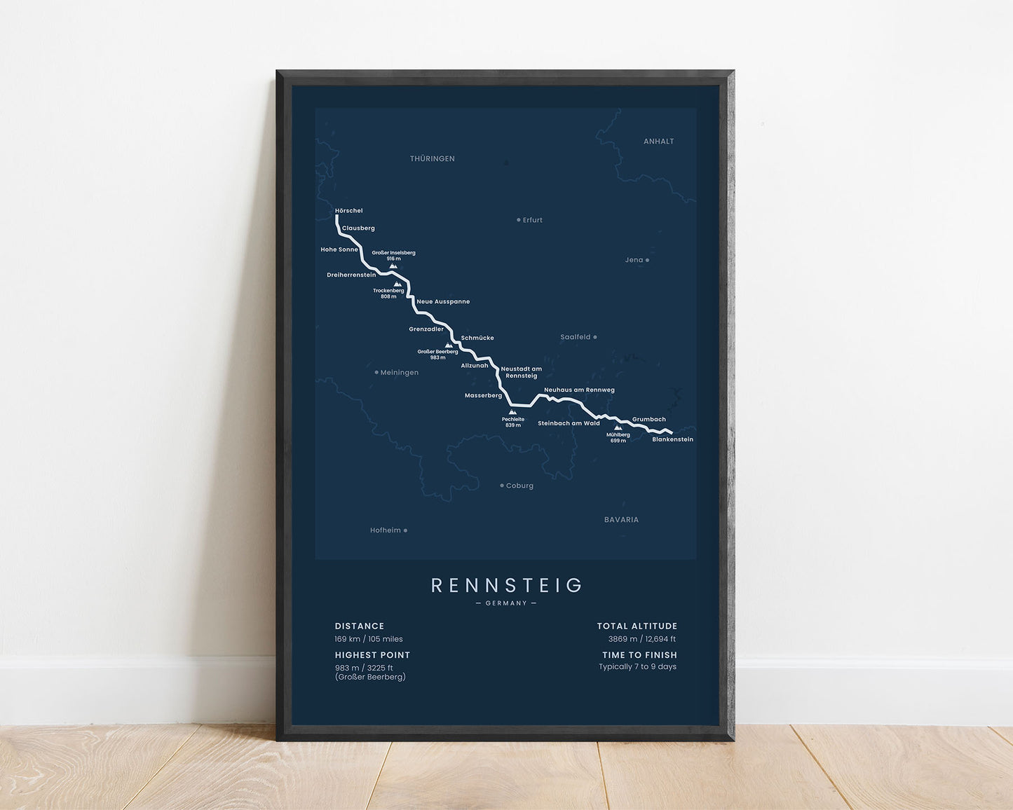
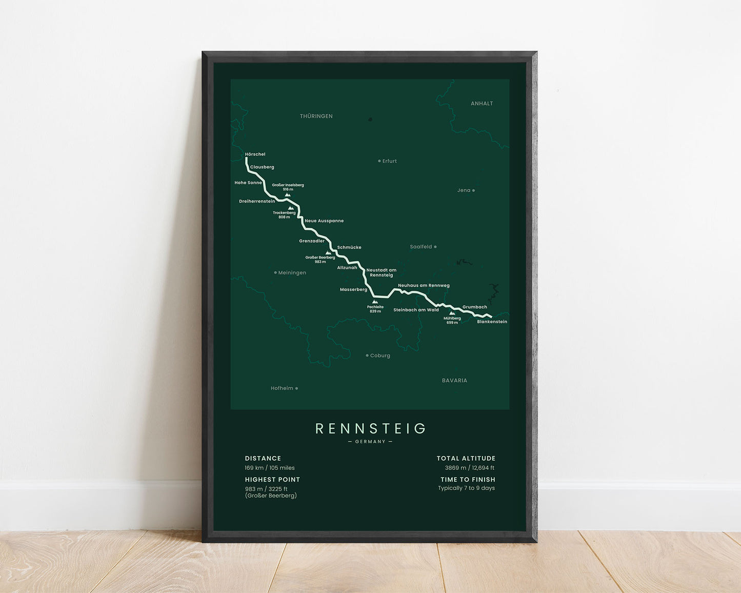
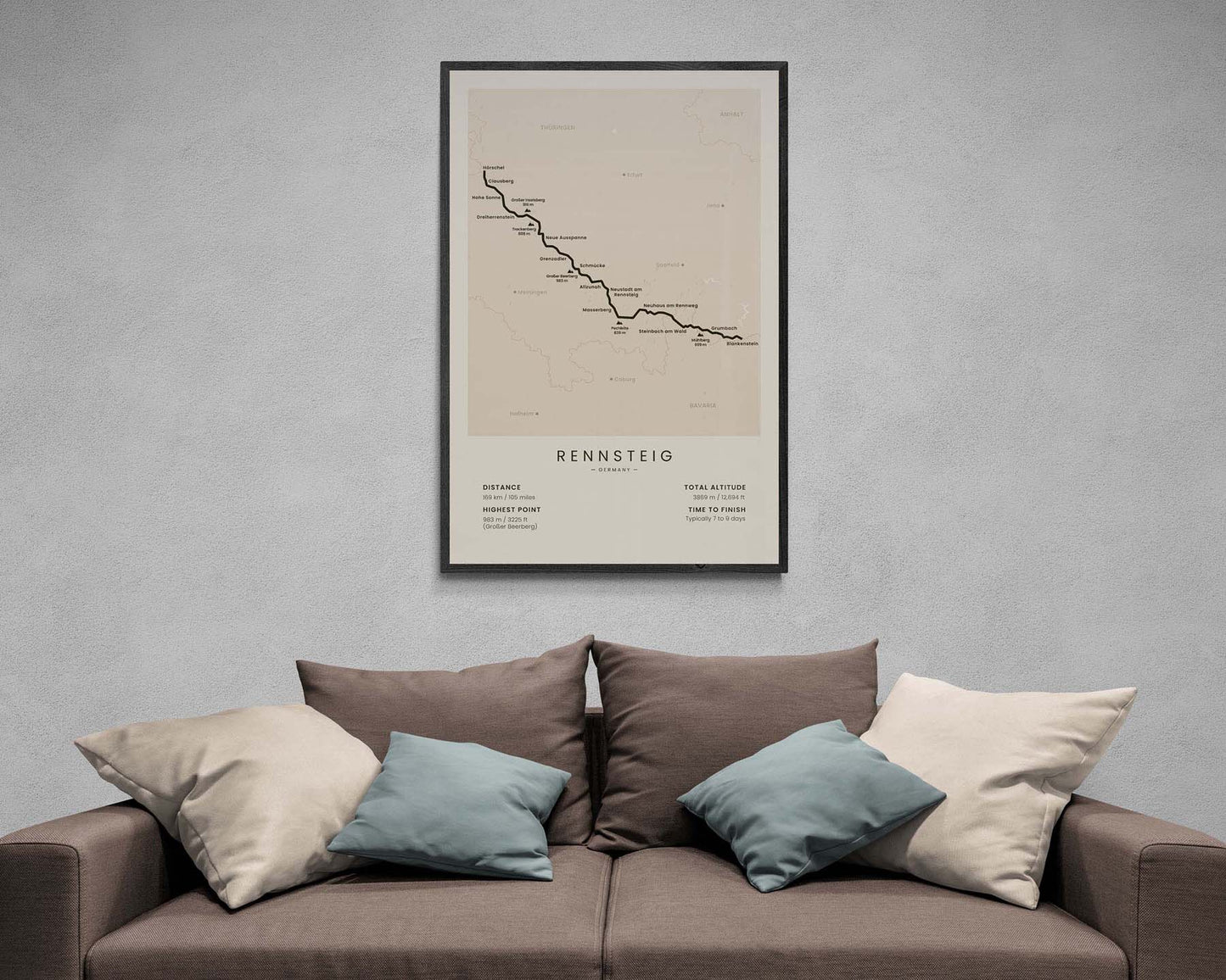
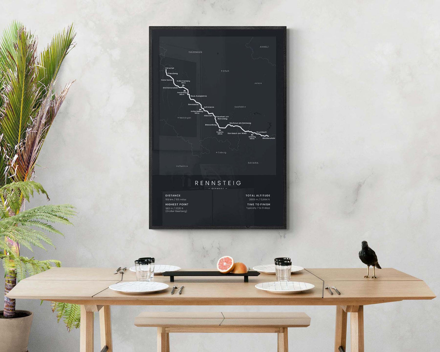

A poster that shows the map of the Rennsteig hiking trail in Germany. It shows important statistics about the trail, like the total distance, altitude gain, highest point, and more. On the top, you’ll also find the full route of the Rennsteig, the highest points (Pechleite, Grosser Beerberg, Trockenberg, Grosser Inselsberg), and also the largest cities and villages along the way. If you’re living in the region and you’re looking to decorate your apartment with minimalistic hiking posters, then this print will be an ideal choice.
About the Rennsteig Trail
The Rennsteig is a long-distance hiking trail in central Germany that crosses the regions of Thuringen and Bavaria. It starts at Horschel, then goes 169 km across the ridge of the Thuringian forest, and finally finishes in Blankenstein. It's one of the oldest hiking trails in Germany, originally used as a trade route between multiple smaller cities. Today, it's hiked by thousands of hikers each year because it offers beautiful scenery of rural Germany, including overgrown forests, traditional villages, incredible views from the ridge, and lots of wildlife encounters. It's considered a fairly easy hike with plenty of accommodations along the way. Other popular hiking trails in Germany that we've also made posters for include the Malerweg, Rheinsteig, and Rothaarsteig trails.
Statistics About the Rennsteig Trail
- Start point: Horschel, Thuringen, Germany
- End point: Blankenstein, Thuringen, Germany
- Total distance: 169 km / 105 miles
- Total altitude gain/loss: 3869 m /12 696 ft
- Highest point: 983 m / 3225 ft (Grosser Beerberg)
- Regions crossed: Thuringen, Bavaria
- Points of interest: Thuringian Forest, Thuringian Highland, Franconian Forest
- Time to finish: Typically 6 to 9 days

