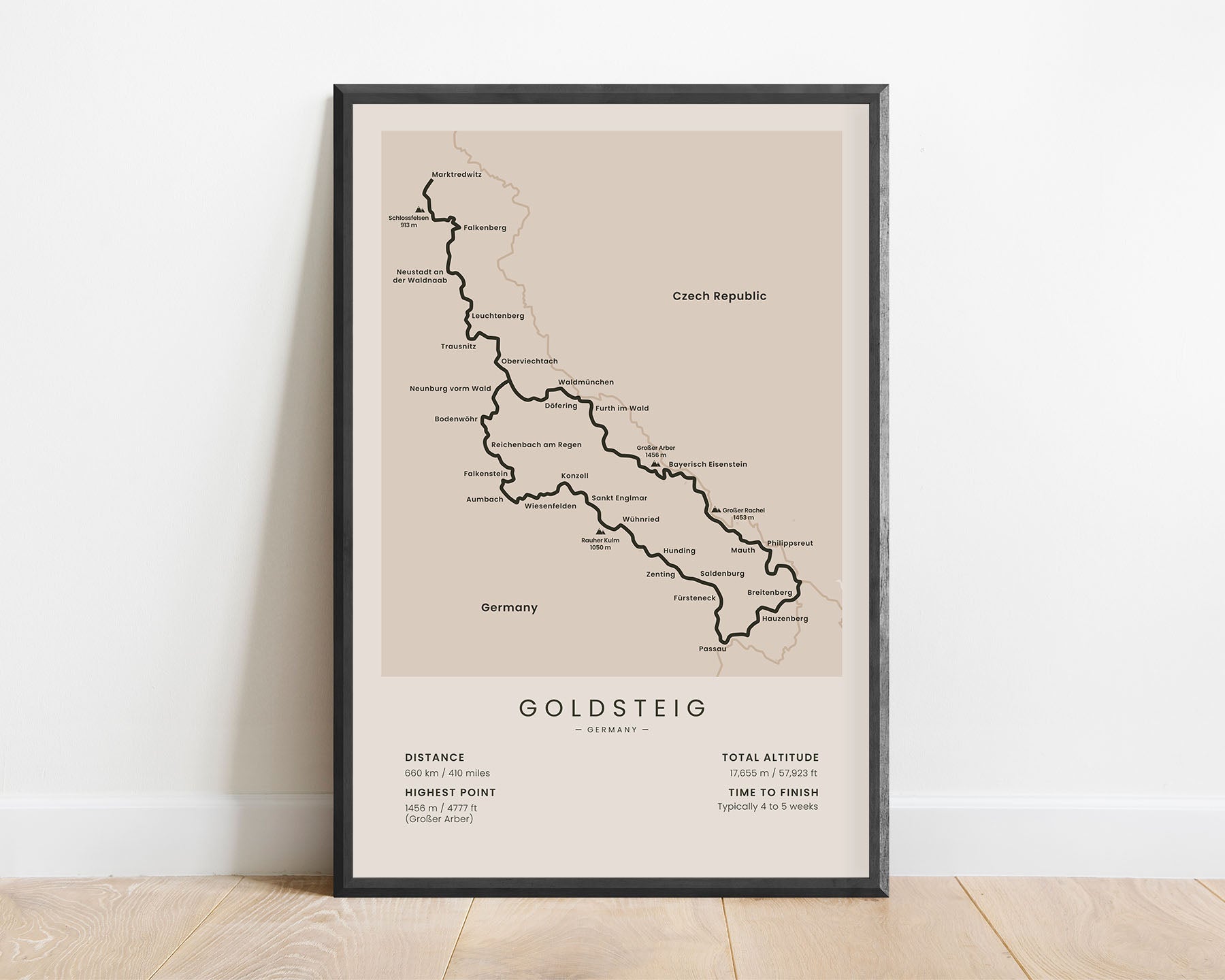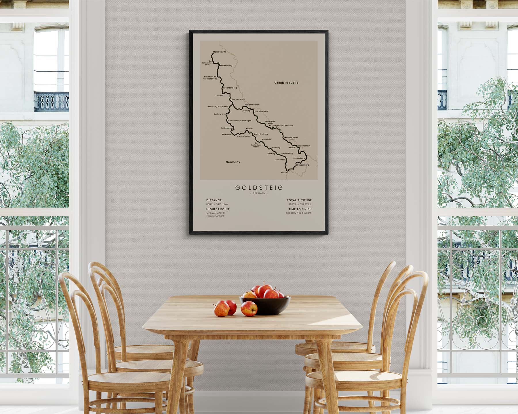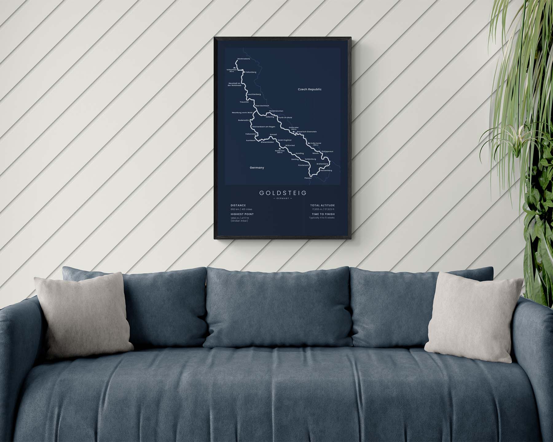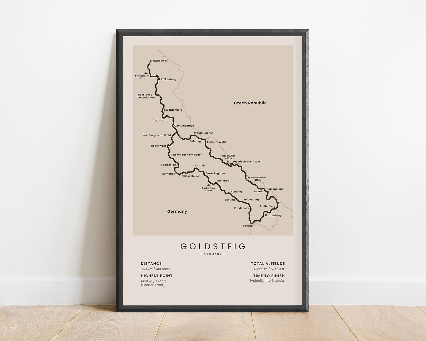
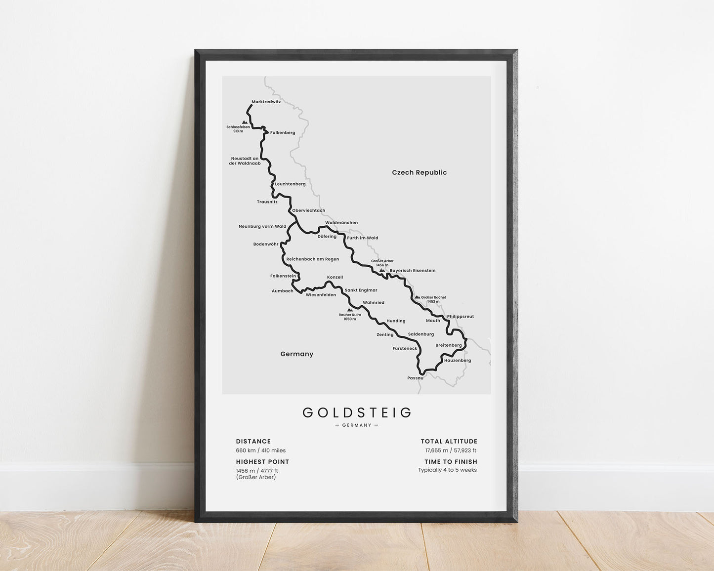
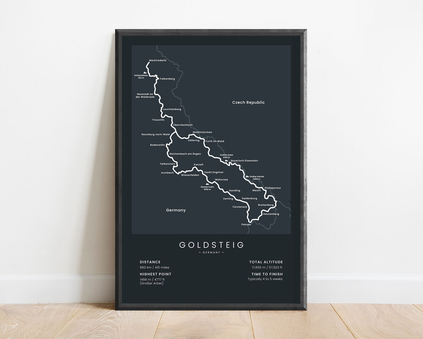
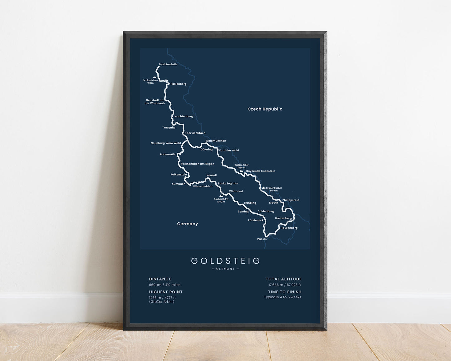
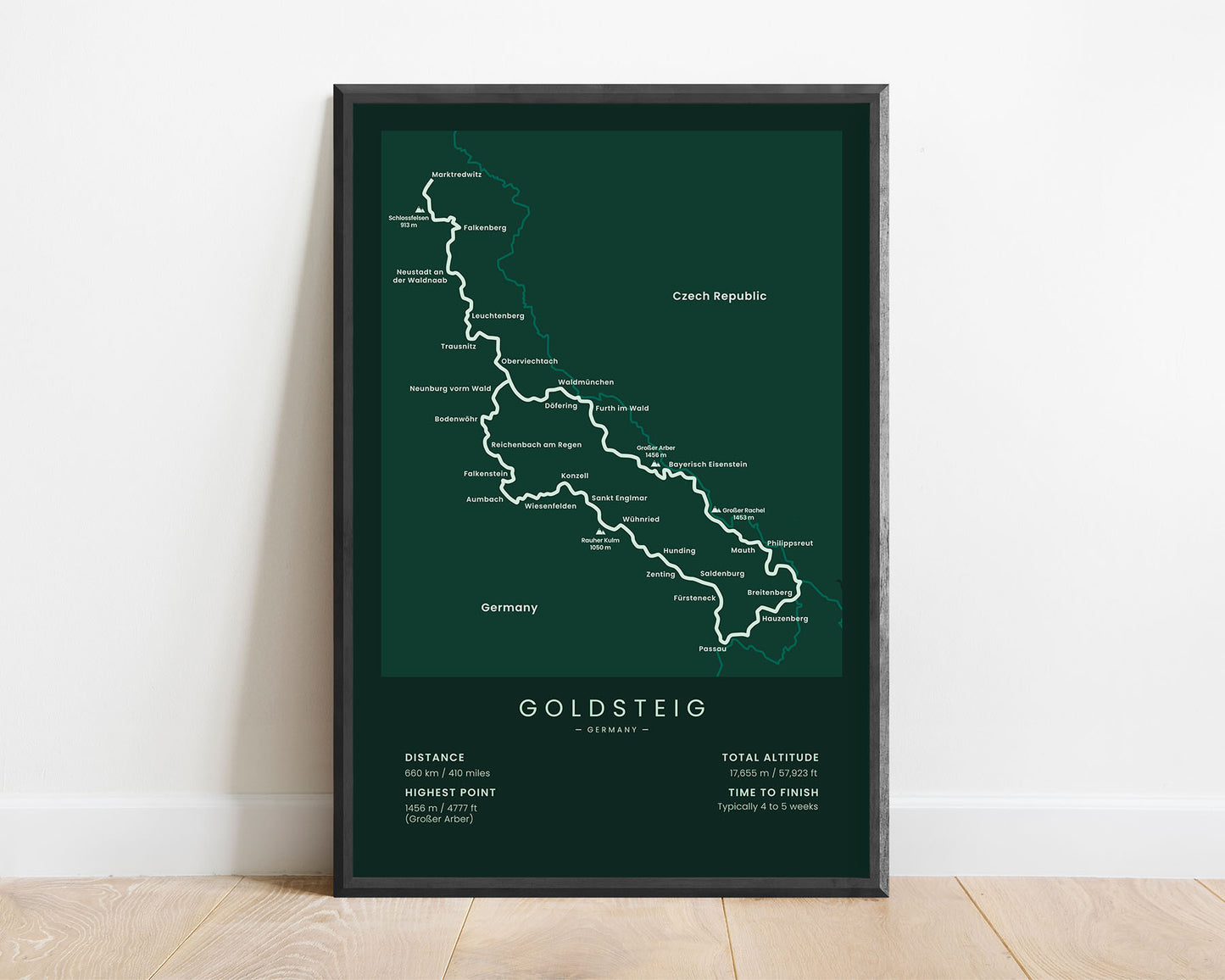
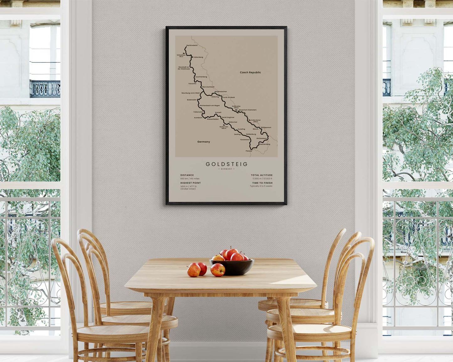
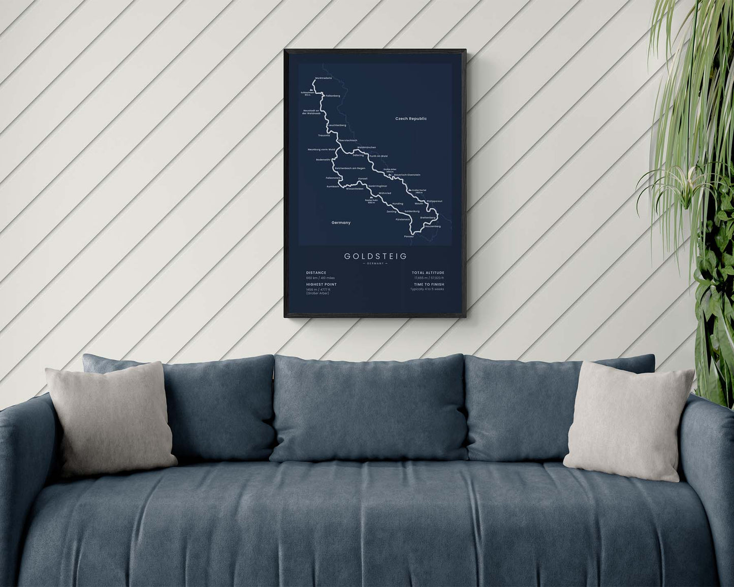

A minimalist map of the Goldsteig Trail in Bavaria, Germany. It shows the full map of the trail, the highest peaks and points of interest along the way, and important statistics about it at the bottom. It’s sold in many different color and size options so that it fits in most modern, minimal, or Scandinavian interiors.
About The Goldsteig Trail
The Goldsteig Trail is a long-distance hiking trail in Germany. It starts at Marktredwitz and ends at Passau, spanning a total of 660 km in length. It goes through some of the most beautiful spots in Bavaria, like the Bavarian Forest National Park and Upper Palatinate. While hiking the Goldsteig, you'll ascend many mountains, cross many rivers, and go through lush overgrown forests. Some other popular hiking trails in Germany include the Malerweg, Rennsteig, Rheinsteig, Traumpfad, and Rothaarsteig
Statistics About the Goldsteig Trail
- Start point: Marktredwitz, Wunsiedel, Bavaria, Germany
- End point: Passau, Lower Bavaria, Germany
- Total distance: 660 km / 410 miles
- Total altitude gain/loss: 17 655 m / 57 923 ft
- Highest point: 1456 m / 4777 ft (Großer Arber)
- Points of interest: Bavarian Forest National Park, Upper Palatinate, Bavaria
- Time to finish: Typically 4 to 5 weeks

