


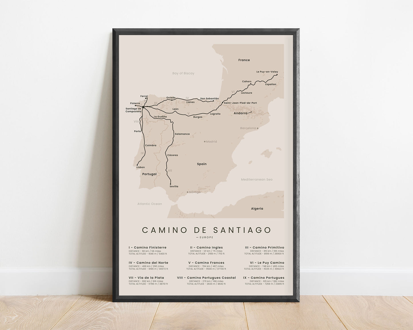


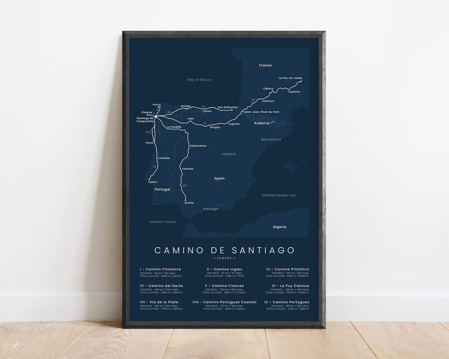
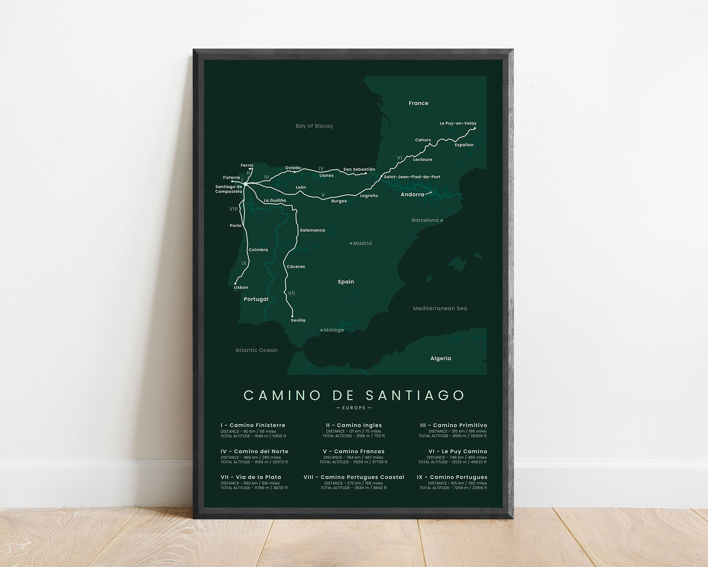
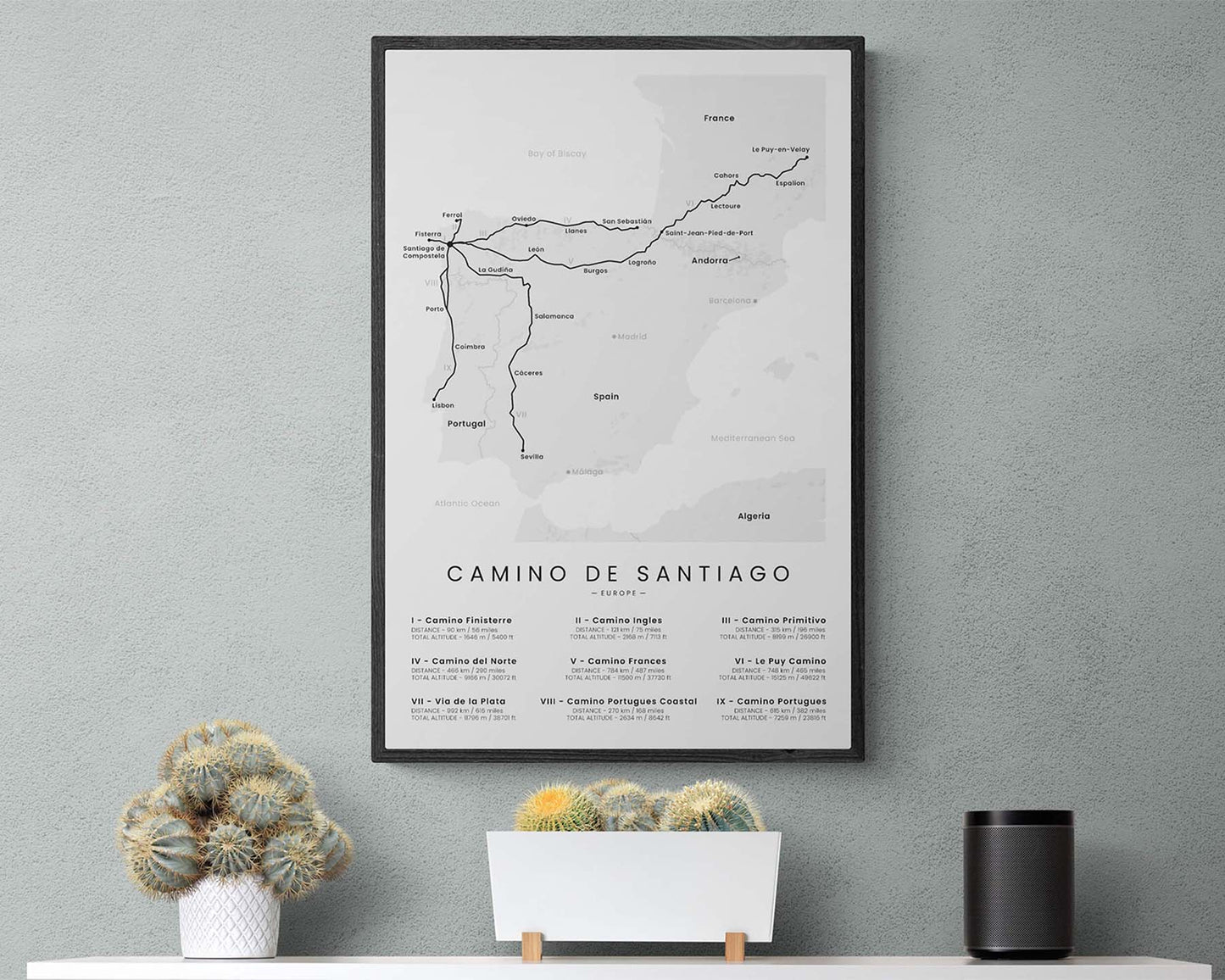
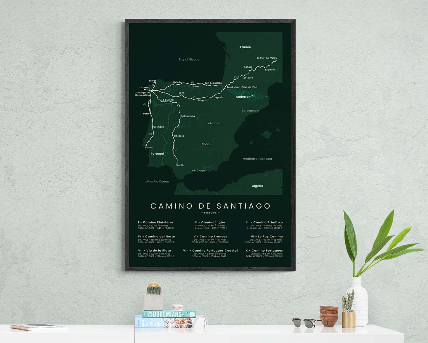
A minimalist map of the Camino De Santiago pilgrimage, which shows the 9 most popular routes of this trail, along with other important details, such as distance, total altitude, highest peaks, and more. It’s offered in several different colors and sizes, so you can choose one that best fits your interior. If you’ve completed one of the trails, and you wish to complete others, then this poster will be a great way to keep you focused on your goal.
About the Camino De Santiago Pilgrimage
Camino De Santiago (other known as the Way of Saint James or the Pilgrimage of Compostela) is the most popular pilgrimage in the world. It isn't a single route and instead consists of countless different routes across Europe that all have a common ending point - the Santiago De Compostela or the tomb of Saint James the Great. The first accounts of this Pilgrimage being hiked are found over 1200 years ago, so it's also one of the oldest hiking trails in the world. These routes usually aren't challenging but may take a long time to complete, depending on which one your choose. Each goes over different countries and terrains and is in different lengths, so they're very different from one another. The most popular route by far is the Camino Frances, but there also are many other ones that are somewhat popular (which we've included in this map), including Camino Finisterre, Camino Ingles, Camino Primitivo, Camino Del Norte, Le Puy Camino, Via De La Plata, Camino Portugues Coastal, and Camino Portugues Central. Sometimes, people also complete these trails in different variations by combining multiple different routes, of which the most popular ones are Camino Frances + Le Puy Camino, Camino Portugues Central + Coastal, and Camino Primitivo + Camino del Norte.
Important: There are multiple Camino de Santiago Routes. So if you're buying this print as a gift, make sure that you're buying the correct one! You'll find a list of all the routes that we've covered over here.
Statistics About the Camino De Santiago Routes
Camino Finisterre (I)
- Start point: Fisterra, Spain
- End point: Santiago de Compastela, Spain
- Total distance: 90 km / 56 miles
- Total altitude: 1646 m / 5400 ft
- Countries Crossed: Spain
- Regions Crossed: Galicia
Camino Ingles (II)
- Start point: Ferrol, Spain
- End point: Santiago de Compastela, Spain
- Total distance: 121 km / 75 miles
- Total altitude: 2168 m / 7113 ft
- Countries Crossed: Spain
- Regions Crossed: Galicia
Camino Primitivo (III)
- Start point: Oviedo, Spain
- End point: Santiago de Compastela, Spain
- Total distance: 315 km / 196 miles
- Total altitude: 8199 m / 26 900 ft
- Countries Crossed: Spain
- Regions Crossed: Asturias, Galicia
Camino del Norte (IV)
- Start point: San Sebastian, Spain
- End point: Oviedo, Spain
- Total distance: 466 km / 290 miles
- Total altitude: 9166 m / 39 972 ft
- Countries Crossed: Spain
- Regions Crossed: Cantabria, Asturias, Galicia
Camino Frances (V)
- Start point: Saint-Jean-Pied-de-Port, France
- End point: Santiago de Compastela, Spain
- Total distance: 784 km / 487 miles
- Total altitude: 11 500 m / 37 739 ft
- Countries Crossed: Spain, France
- Regions Crossed: Pyrénées-Atlantiques, Navarre, La Rioja, Castilla Y Leon, Galicia
Le Puy Camino (Via Podiensis) (VI)
- Start point: Le-Puy-en-Velay, France
- End point:Saint-Jean-Pied-de-Port, France
- Total distance: 748 km / 465 miles
- Total altitude: 15 125 m / 49 622 ft
- Countries Crossed: France
- Departments Crossed: Haute-Loire, Lozere, Aveyron, Lot, Tarn-et-Garonne, Gers, Landes, Pyrénées-Atlantiques
Via de la Plata (VII)
- Start point: Seville, Spain
- End point: Santiago de Compastela, Spain
- Total distance: 992 km / 616 miles
- Total altitude: 11 796 m / 38 701 ft
- Countries Crossed: Spain
- Regions Crossed: Andalucia, Extremadura, Castilla Y Leon, Galicia
Camino Portugues Coastal (VIII)
- Start point: Porto, Portugal
- End point: Santiago de Compastela, Spain
- Total distance: 270 km / 168 miles
- Total altitude: 2634 m / 8642 ft
- Countries Crossed: Portugal, Spain
- Regions Crossed: Porto, Braga, Viana do Castelo, Galicia
Camino Portugues Central (IX)
- Start point: Lisbon, Portugal
- End point: Santiago de Compastela, Spain
- Total distance: 615 km / 382 miles
- Total altitude: 7258 m / 23 816 ft
- Countries Crossed: Portugal, Spain
- Regions Crossed: Lisboa, Santarem, Leiria, Coimbra, Aveiro, Porto, Braga, Viana do Castelo, Galicia


High Quality Matte Prints
Our posters are manufactured using ultra high definition printers with very rich and vivid colors. They're printed on thick, 189 g/m² matte paper sourced from Japan.

Plastic-Free Packaging
Our prints are shipped in cardboard triangles instead of typical tubes. This is better for the enviroment, because no plastic is used in the packaging.

The Right Size & Color for You
Our sizes are offered in imperical and metrical measurements, so it's easier for you to find the right frame locally.

Free Shipping With 2+ Posters
Save money by adding another poster to your cart (maybe as a gift for one of your friends or close relative), and get free shipping, even on international orders.

No Import Fees*
We have fulfillment locations in the United States, Canada, the United Kingdom, Spain, and Latvia. They're always manufactured from the closest one to your shipping address, so you can avoid paying import tax, get quicker deliveries, and reduce your carbon footprint.

30-day Satisfaction Guarantee
If, for whatever reason, you change your mind, we accept returns within 30 days of the delivery date.